If you’re after a fairly easy family-friendly walk, this route up Slieve Croob is a gem.
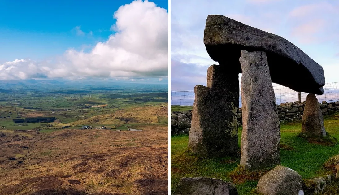
You’ll be treated to views across the surrounding County Down and way out to sea.
A short and enjoyable walk, it’s a fantastic route for a breath of fresh air, a little exercise, and some incredible sights.
Some quick need-to-knows about the Slieve Croob walk

Photo via Shutterstock
Before you jump in the car and begin this mini-expedition, let’s take a quick glance at the basics for the Slieve Croob walk, which will save you hassle in the long-run:
1. Location
Slieve Croob sits in the middle of County Down, Northern Ireland. It’s around 25 miles south of Belfast and just over 90 miles north of Dublin. It’s in the heart of a small mountainous area known as the Dromara hills, just north of the more well-known Mourne Mountains.
2. Length
The Slieve Croob walk is a fairly easy going out and back hike that covers a total distance of just over 4 km. Along the way, you’ll gain around 180 metres of elevation. Depending on how long you plan to admire the views from the top, you can expect to complete the route in around an 1.5 hours.
3. Difficulty
The Slieve Croob walk is considered an easy route, but decent fitness levels are needed. With a pretty smooth tarmac surface underfoot, it’s pretty much buggy friendly almost to the top, though there are three stiles to climb to reach the official summit. Having said that, some sections are steep and can be a little challenging.
4. Parking
The Dree Hill/Slieve Croob Car Park marks the start point of the walk. With space for at least 15 cars, you’ll not normally struggle to find a spot There’s a handy information board, then just head through the gate and follow the path to the summit.
About Slieve Croob Mountain

Photos via Shutterstock
Standing at 534 metres, Slieve Croob, known as the ‘mountain of the hoof’, might not be among the highest peaks in the country, but you can still enjoy breathtaking views as you make your way to the summit.
It’s the source of the River Lagan, which eventually flows into the Irish Sea at Belfast. Listen carefully and you might hear it gurgling by.
The gentle countryside is filled with sheep, while the skies are abuzz with red kites, buzzards, and kestrels. Moody moorland abounds, while the coarse, grassy slopes hide bilberry bushes.
An ancient land of folklore
At the summit of Slieve Croob, you’ll find a cairn that is thought to be the remains of an ancient burial chamber. Take care not to damage the cairn or dislodge any stones, as this is thought to bring bad luck.
In days gone by, locals from each side of the mountain would climb to the summit during the Gaelic festival of Lughnasadh and leave a stone on top of the cairn.
Music would be played and bilberries foraged, with dancing and games into the night. To this day, locals still celebrate Cairn Sunday or Blaeberry Sunday each year on the first weekend of August.
They carry a stone up to place on the cairn in order to help bury the 12 kings believed to be at rest up there, picking bilberries along the way.
An overview of the Slieve Croob hike
The walk up to the summit is fairly easy to follow from the car park. Be sure to check out the small sculpture called the ‘Source of the River Lagan’ before you get started.
When you’re ready, head through the green gate and follow the tarmac transmitter road up.
Head for the towers
This is a service road for the communication towers that you can see near the summit, though you’ll seldom see vehicles on it. Either side of the road is open to the grassy slopes and grazing sheep.
If you’re around in spring you might even see lambs. As such, the walk is not dog-friendly. You’ll come across a couple of steep sections, but for the most part, the going is fairly steady.
Eventually, you’ll reach the communications towers.
The cairn
As you look up the mountain, you’ll see the mound of stones that marks the summit and was once a much larger and more impressive burial chamber.
Follow the short, grassy, and somewhat rocky, path along the open mountain to reach the peak, crossing three stiles along the way. Enjoy the beautiful panoramic views and then head back the same way.
An alternative route
If you’d like to extend the Slieve Croob walk, then it’s worth taking a short detour down the other side of the mountain. Head back down the transmitter road a short distance until you see a way-marked path on your right.
Follow this down some steep sections, keeping to the old path as it meanders through boggy terrain. You’ll cross a stile along the way, and a second stile leads you onto the concrete path of Pass Loaning.
Take this path all the way to the end, and at the T-junction on Drin Road, turn left, heading towards the village of Finnis. When you reach the junction with Dree Hill, take a left to head back to the Slieve Croob car park.
Things to do when you finish the Slieve Croob walk
One of the beauties of the Slieve Croob hikes is that it’s a short spin away from many of the best places to visit in Down.
Below, you’ll find a handful of things to see and do a stone’s throw from Slieve Croob (plus places to eat and where to grab a post-adventure pint!).
1. Head to Newcastle for food

Photos via Quinns Bar on FB
Worked up a hunger? Newcastle is a bustling little seaside town that has some great places to eat. There are all kinds of restaurants in the town, serving up quality dishes from around the world. But for me, you can’t beat heading down to the chipper for a feast of fish and chips. The beach is also fantastic, and a top spot to rest those weary legs.
2. Go back in time at Legananny Dolmen

Photo via Shutterstock
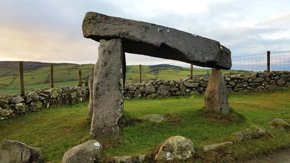
Just a short drive from Slieve Croob, you’ll find the epic Legananny Dolmen, a megalithic monument that is thought to be more than 5,000 years old. Still standing proud millennia later, it’s a sight to behold. Once a mighty portal tomb, it’s believed that the original tomb was far more extensive.
3. Castlewellan Forest Park

Photos via Shutterstock
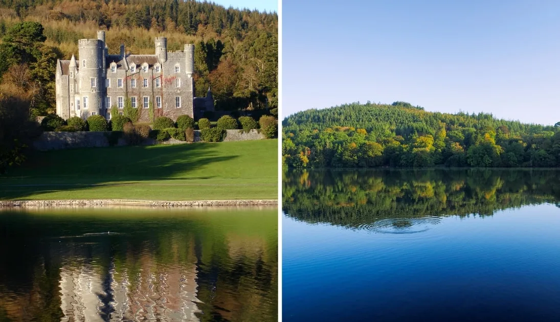
Covering more than 450 hectares, Castlewellan Forest Park has something for everyone. The lake is the centrepiece of this historic former Victorian estate, complete with a castle and huge hedge maze. You can enjoy a huge array of activities, including canoeing, fishing, camping, mountain biking, horse riding, and tons of walks.
4. The Mourne Mountains

Photos via Shutterstock
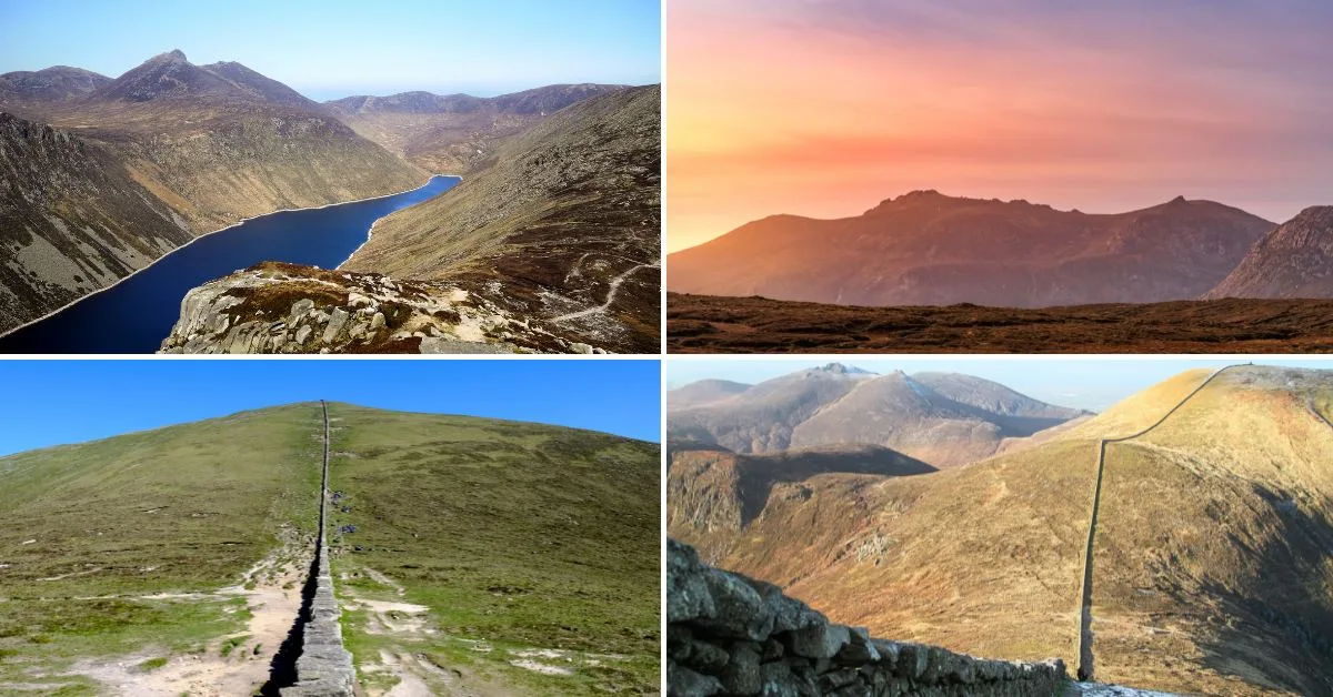
If you’re looking for a mountain walk that’s a little more challenging, the Mourne Mountains are the place to be. With 30 peaks higher than 500 metres, including Slieve Donard, Northern Ireland’s highest peak, plus 63 lesser mountains in the range, there’s plenty to choose from.
FAQs about the Slieve Croob walk
We’ve had a lot of questions over the years asking about everything from ‘Where do you park?’ to ‘Is it very steep?’.
In the section below, we’ve popped in the most FAQs that we’ve received. If you have a question that we haven’t tackled, ask away in the comments section below.
How long does it take to climb Slieve Croob?
You’ll want to allow at least 1.5 hours to conquer the 4km Slieve Croob hike (allow extra time if you’re visit for the first time, as the views are stunning).
Where do you park for Selive Croob?
Aim for the Dree Hill/Slieve Croob Car Park – this marks the start point of the walk and there’s space for between 15 and 20 cars.
