The Slieve Meelmore and Meelbeg walk is a tough one but worthwhile trail.
The 6th and 7th highest mountains in the Mourne Mountains are conveniently located next to each other and can be hiked in one go, if you’re up for the challenge.
Below, you’ll find info on parking, the trail a map along with some handy tips.
Some quick need-to-knows about the Slieve Meelmore and Meelbeg walk

Photo via Shutterstock
Before you scroll to the guide below, it’s worth taking 15 seconds to read these points, as they’ll save you time in the long run:
1. Location
Slieve Meelmore is located in the West Mournes, with Slieve Meelbeg just to the south and Slieve Bearnagh to the east. It’s nearest to the Ott Car Park, which is around a 15-minute drive to the coastal town of Newcastle. It’s an hour’s drive south from Belfast.
2. Length
If you’re covering two mountains, then you know this won’t be a short journey! Expect a walk of around 3.5 to 4 hours on this 11km loop trail, depending on fitness levels and stopping for snacks/photos.
3. Difficulty
This is one of the tougher Mourne Mountains walks. It isn’t one to take lightly and can be challenging and strenuous in places, so prepare thoroughly. It’s quite long too, so make sure you bring snacks, water and a fully charged phone.
4. Parking
The Ott Car Park (here on Google Maps) is where you’ll be leaving your car, but, as you’ll see, it’s not the biggest of spaces so try to arrive early. Some people tend to park on the side of the road and if you’re going to do that too, then make sure you aren’t blocking the road for everyone else.
About Slieve Meelbeg and Meelmore

The Ott Car Park starting point via Google Maps
At 702 m (2,303 ft), Slieve Meelbeg is the 6th highest of the Mourne Mountains, while Meelmore comes in at a not-too-shabby 680 m (2,230 ft) making it the 7th highest.
These two peaks come with some of the more curious names of the Mournes, too.
Slieve Meelbeg’s Irish name is Sliabh Míol Beag, meaning ‘small mountain of the ants’, while Meelmore’s Irish name is Sliabh Míol Mór, meaning ‘great mountain of the ants’.
First of all, I’m not sure what the ants thing is all about, and secondly, they clearly hadn’t measured the mountains when they chose which one was great and which was small!
Related read: Check out our guide to 8 of the handiest Mourne Mountain hotels to use as a base camp
An overview of the Slieve Meelmore and Meelbeg walk
This walk kicks off from the Ott Car Park, so cross the stile across the road and walk the 150m stone track.
Take the upper path when the track splits in two and continue towards the col between Slieve Loughshannagh and Carn Mountain.
After the wall
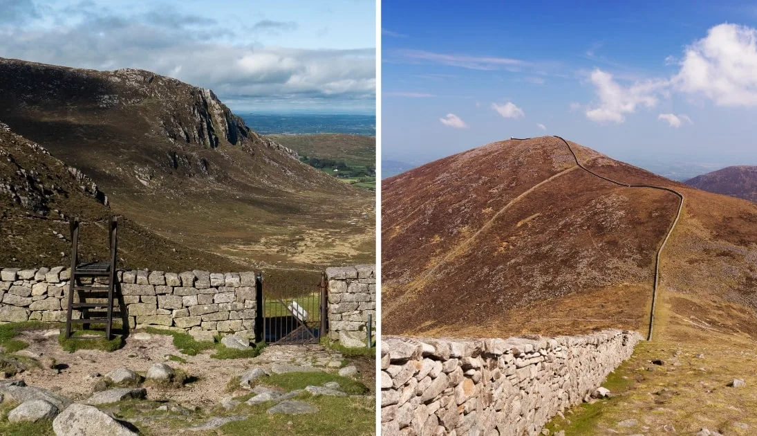
This is where you’ll meet the Mourne Wall, so turn left here and follow the wall up to the ascending summits of Slieve Loughshannagh, Slieve Meelbeg and finally Slieve Meelmore.
Take in the stunning vistas before retracing your steps back down Slieve Meelmore to the wall intersection. From here you should use the right-hand wall and descend into the valley.
Follow this path until the wall meets a river and a walking track. From here, follow the river downstream to the bottom of the valley.
The Ulster Way
You’ll come across the Ulster Way at the bottom of the valley, follow this until you reach a section of evergreen woods. This then takes a southwesterly direction and you should pass by the open expanse of Fofanny Dam.
Eventually, the Ulster Way will join up with Slievenaman Road and you should then simply head left and make the 800m journey back to Ott Car Park
Things to do near Slieve Meelmore
One of the beauties of this walk is that it’s a short spin away from many of the best places to visit in Down.
Below, you’ll find a handful of things to see and do a stone’s throw from Meelbeg and Meelmore (plus places to eat and where to grab a post-adventure pint!).
1. Rostrevor for food (20-minute drive)

Photos via the Rostrevor Inn on FB
Whether you’re tucking into a full Irish breakfast at The Old School House Cafe or enjoying a freshly caught fish and chips from The Rostrevor Inn, there are plenty of options for a solid feed in the village of Rostrevor. It’s also just a short journey to Kilbroney Park.
2. Kilbroney Park (20-minute drive)

Photos via Shutterstock
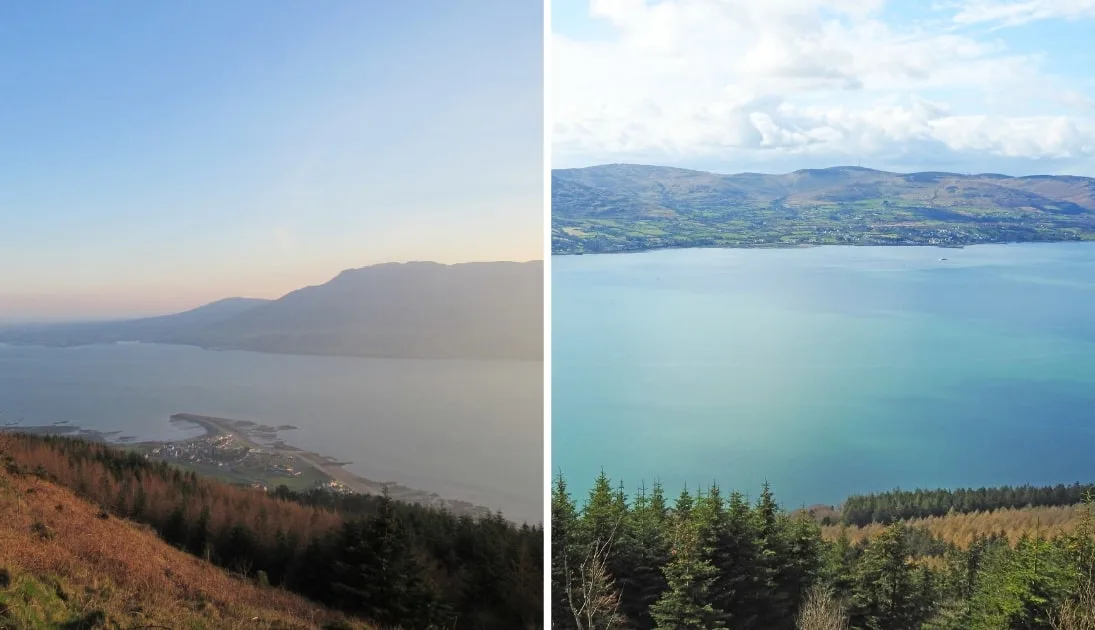
When a park contains a viewpoint known as Kodak Corner, you know it’ll be worth checking out! Just next door to Rostrevor, Kilbroney Park Forest features beautiful views over Carlingford Lough, riverside walks, an arboretum and the Cloughmore – a 30 ton stone that’s been the subject of all sorts of myth!
3. Tollymore Forest Park (15-minute drive)

Photos via Shutterstock
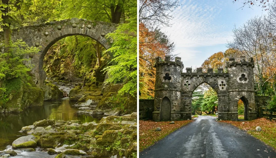
For an enjoyable time at a lower elevation, then the enchanting Tollymore Forest Park is a cracking nearby spot to check out. Just a handy fifteen-minute drive away, the park is right at the base of the Mourne Mountains and is perfect for walking, camping, horse riding and orienteering.
4. Silent Valley Reservoir (15-minute drive)

Photos via Shutterstock
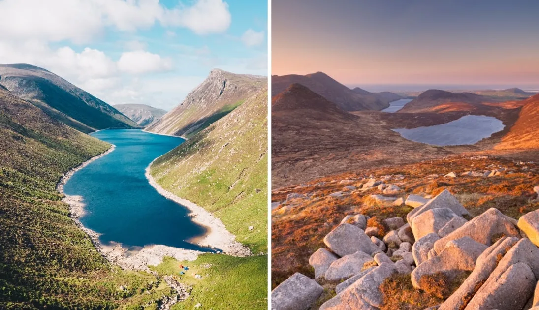
Built between 1923 and 1933 by a workforce of over 1,000 men, the Silent Valley Reservoir is a vast body of water next to Slieve Binnian that’s a tranquil spot nestled in amongst the mountains. It’s a lovely place for a ramble.
FAQs about Meelmore and Meelbeg Mountain
We’ve had a lot of questions over the years asking about everything from ‘Which is the handiest car park?’ to ‘Where does the trail start?’
In the section below, we’ve popped in the most FAQs that we’ve received. If you have a question that we haven’t tackled, ask away in the comments section below.
How long does it take to climb Meelbeg and Meelmore?
Expect a walk of around 3.5 to 4 hours on this 11km loop trail, depending on fitness levels and stopping for snacks/photos.
Is the Meelmore and Meelbeg hike tough?
This definitely isn’t one to take lightly and can be challenging and strenuous in places, so prepare thoroughly. It’s quite long too, so make sure you bring snacks, water and a fully charged phone.

