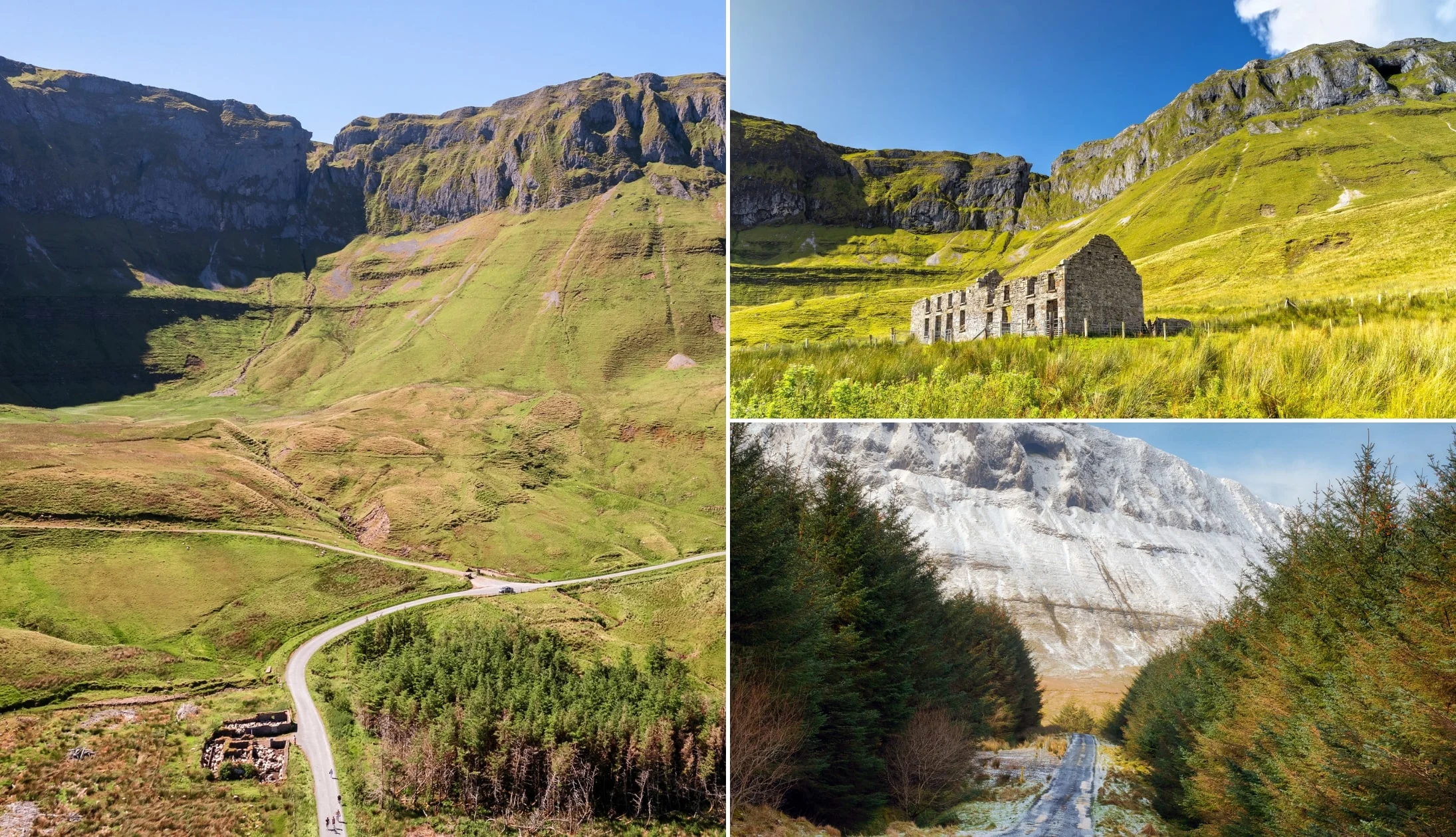
The Gleniff Horseshoe drive (or walk) showcases a slice of Sligo’s rugged beauty over the course of a 10km loop.
Arguably one of the best things to do in Sligo, you can explore it in a couple of ways:
- The walk: 9.1km/3-hour trail
- The drive: It takes 30 minutes
Below, you’ll find a couple of maps outlining the walk and the drive along with what to lookout for while your there (like Diarmuid and Grainne’s cave).
Some quick need-to-knows about the Gleniff Horseshoe
The Gleniff Horseshoe is a 10km loop that offers spectacular views of the Dartry Mountains, and Donegal Bay. Although a visit is fairly straightforward, there are some need-to-knows.
1. Location
This glacial valley located on the northern side of the Dartry Mountains. It’s a 15-minute drive from Mullaghmore, a 25-minute drive from Bundoran and a 30-minute drive from Sligo Town.
2. How it formed
The valley was formed during the last Ice Age, which lasted until about 10,000 BCE, when the landscape was covered by glaciers more than 1km thick. When the ice melted, the glacier retreated north and scraped out a hollow in the mountain.
3. Walk + drive overview
The Gleniff Horseshoe is arguably best explored by foot. However, if you don’t have 3 hours to spare, you can see the best of it on the drive. Here’s an overview of both:
- The walk: A 13km/3-hour trail. Park/start from Gleniff Barytes Mill Site
- The drive: Do it clockwise. It takes 30 minutes
4. A warning about the cave
People, often those who saw photos/videos on social media, are tempted to climb up to Diarmuid and Grainne’s cave. Please don’t. For 99.9% of people this will be a treacherous climb.
An overview of the Gleniff Horseshoe Drive

Photos via Shutterstock
The beauty of the Gleniff Horseshoe Drive is that, when you arrive at the correct starting point, you can’t go wrong.
It tends to be virtually deserted throughout the year, aside from summer when Gleniff and the County are abuzz with tourists.
Length
If you follow the route outlined below, it stretches for just under 8.5km in total.
If you were to do the entire loop without stopping, it’d take 25 minutes.
Allow 50 minutes to allow yourself time to stop and soak up the scenery of the Gleniff Horseshoe.
Starting point + direction
So, the best start point for the Gleniff Horseshoe Drive is the Gleniff Barytes Mill Site (here on Maps).
If you aim for here, you’ll follow the loop clockwise which, based on the many times I’ve driven it, gives you the best eyeful of the Horseshoe as you drive towards it.
On the map below I’ve plotted the ‘main’ points of attractions along the way.
The Gleniff Horseshoe Walk (aka the Benwisken Trail)
The Gleniff Horseshoe walk is one of the more popular walks in Sligo, and it should be nice and doable for those with a reasonable level of fitness.
Now, you can do a long or a still-long-but-not-as-long version of this walk. I’ll outline both for you.
Option 1: From the Benwiskin Centre
The traditional version of the Gleniff Horseshoe Walk starts from the Benwisken Centre and follows a road before turning in towards the main trail.
Here’s everything you need-to-know:
- Colour line on map above: Yellow
- Starting point/parking: In front of St. Brigid’s Church
- Length: 13.6km/4 hours
- Difficulty: Moderate
Option 2: From the Gleniff Barytes Mill Site
The shorter version of the walk begins at the Mill Site where you’ll find plenty of parking. This walk removes having to walk on the busier public road.
Here’s everything you need-to-know:
- Where to start on map above: In the car park at Gleniff Barytes Mill Site
- Length: 9.1km/3 hours
- Difficulty: Moderate
Things to do near the Gleniff Horseshoe
One of the beauties of the Gleniff Horseshoe is that it’s a short spin away from some of the best places to visit in Sligo.
Below, you’ll find a handful of things to see and do a stone’s throw from the Gleniff Horseshoe.
1. Benbulben Forest Walk (20-minute drive)

Photos via Shutterstock
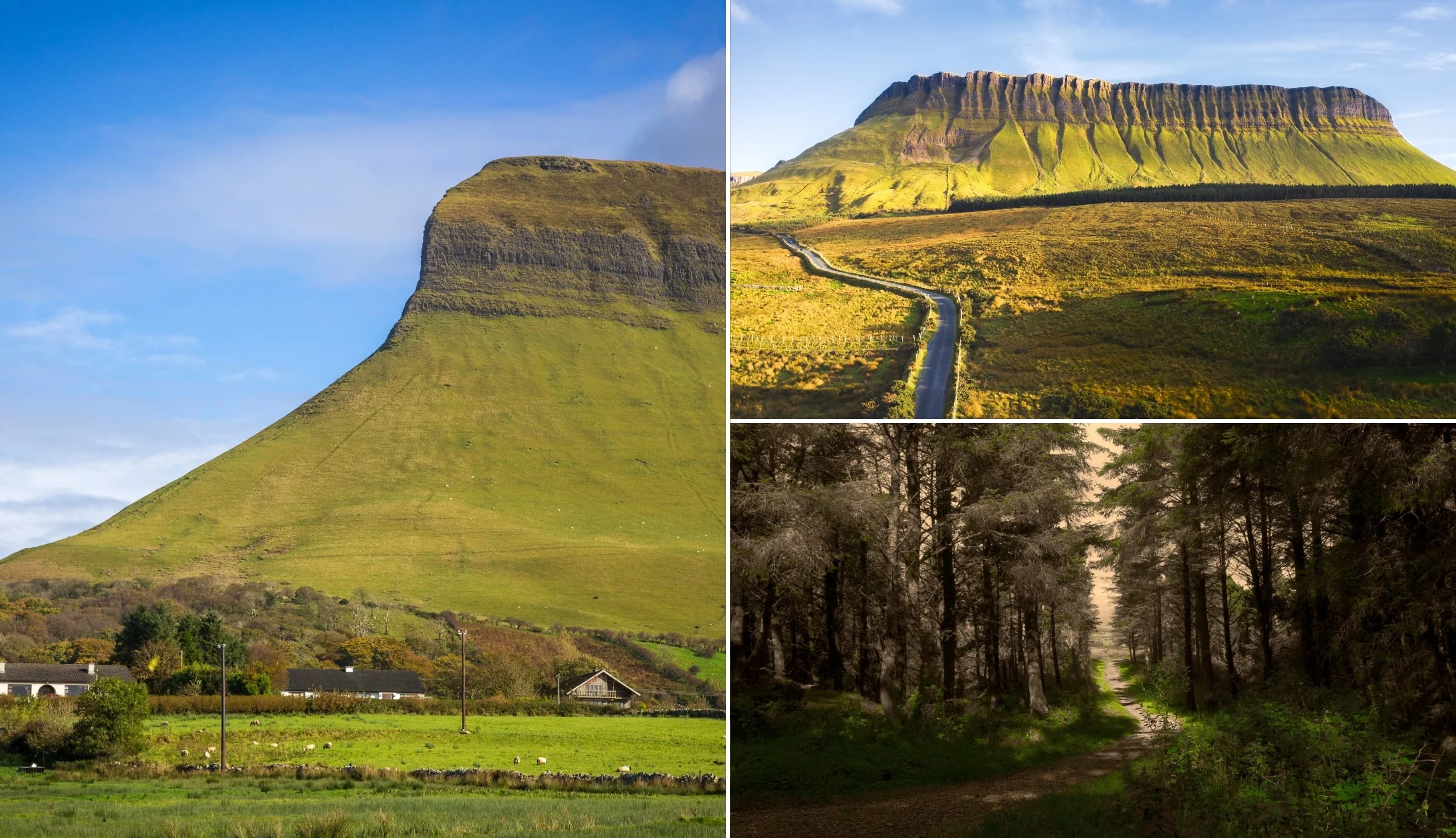
It’s hard to beat the Benbulben Forest Walk. This is an easy ramble that treats you to incredible views of Sligo’s table-top-like mountain over 1.5 hours.
2. Glencar Waterfall (30-minute drive)

Photos via Shutterstock
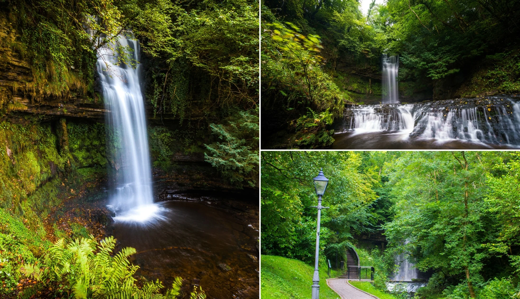
Glencar Waterfall reaches 50 feet high and can be found at the Glencar Lough. The wooded walk has several viewing platforms from which you can watch the magnificent crash of water.
3. The Devil’s Chimney (30-minute drive)

Photos via Shutterstock
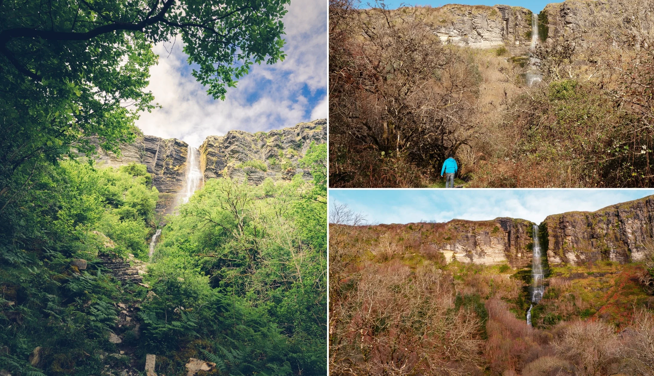
The Devil’s Chimney is best visited after heavy rain or when it’s windy and the waterfall is blown upward and back over the cliff.
4. Mullaghmore (15-minute drive)

Photos via Shutterstock
Mullaghmore is a picture postcard seaside resort with a 19th century harbour. You can visit Mullaghmore Beach and get an eyeful of Classiebawn Castle, too.
Keith O’Hara has lived in Ireland for 35 years and has spent most of the last 10 creating what is now The Irish Road Trip guide. Over the years, the website has published thousands of meticulously researched Ireland travel guides, welcoming 30 million+ visitors along the way. In 2022, the Irish Road Trip team published the world’s largest collection of Irish Road Trip itineraries. Keith lives in Dublin with his dog Toby and finds writing in the 3rd person minus craic altogether.


