
There’s a lot to like about Antrim’s Torr Head Scenic Route.
Starting in either Cushendun or Ballycastle, this is a 21.7km/12.5 mile scenic drive/cycle that is a short detour off the main Causeway Coastal Route.
Each twist and turn of this often very narrow road reveals glorious coastal scenery, with Rathlin Island and parts of Scotland visible along the way.
Below, you’ll find a map of the route along with what to see and do along the way. Enjoy!
The Torr Head Scenic Route

So, this isn’t as straightforward as some of Ireland’s other scenic drives. Pay particular note to the weather warning.
1. Location
This route joins the towns of Ballycastle and Cushendun. You can start the route on either side, just keep an eye out for the brown signs with ‘Torr Head Scenic Route’ written on them in white.
2. Length/distance
If you do the entire route, including the spin down to Torr Head itself, it measures 21.7km/12.5 mile. Allow at least 40 minutes for a non-stop journey and 1.5 hours if you include Torr Head.
3. Unsuitable for some vehicles
Due to the narrow roads, this route is unsuitable for large vehicles. Although the road signs say no coaches or caravans, I’d say the majority of campervans should avoid it, too.
4. Mist/fog warning
The last time I drove the Torr Head Scenic Route, mist/fog descended on the elevated sections, reducing visibility by a terrifyingamount. Please check the weather in advance.
An overview of the Torr Head Scenic Drive with stops
The map above shows you the to starting points along with three of the main stops along the way.
Personally, I always start the drive in Cushendun, so I’m going to give you the stops in that order.
1. Torr Head

Photos via Shutterstock
The drive from Cushendun will take you around 20 minutes. During this time, you’ll follow bendy roads that reveal magnificent sea views.
Keep an eye out for the turn for the now-famous headland. It’s a steepish drive down to the little parking area.
Torr Head has been a strategic point in the past. In the 19th century it was topped with a coastguard station, abandoned in the 1920s but the shell remains.
In the same era, it was a recording station monitoring all passing transatlantic ships and feeding the information back to Lloyds of London.
What to do here: It’s a short walk to the top of the hill. From there, you’ll be able to see the Mull of Kintyre – this is the shortest passage between Ireland and Scotland! You’ll also be able to see Antrim’s Rathlin Island!
2. Murlough Bay

Photos via Shutterstock
You’re a 20-minute drive from the next stop – Murlough Bay. Now, a warning – the road down towards the bay is very narrow, very steep and has plenty of blind spots.
Please drive slowly and carefully as this is a popular area for walkers. This was once an area of coal and chalk mining and there’s an old lime kiln just south of the car park.
It’s an area of remarkable beauty and was the requested burial place of Irish patriot and poet, Sir Roger Casement. You have two options when you visit:
- Park at the upper car park and do this 1-1.5 hour hike
- Park at the lower car park and do the 20-minute walk to see the scenery
The Game of Thrones connection: Murlough Bay was one of severa Game of Thrones filming locations in Ireland. It was used in the scene where Davos Seaworth was shipwrecked and later rescued following the Battle of Blackwater Bay.
3. The Fair Head Cliffs

Photos via Shutterstock
The Fair Head Cliffs are Northern Ireland’s most impressive. They’re also the tallest, rising 196m (643 feet) above the sea.
They’re a handy 15-minute spin from Murlough Bay and they’re also the closest point to Rathlin Island.
This is a place for those that fancy a ramble. If you don’t, continue on to Ballycastle! There’s a well-maintained paid car park on-site (here on Maps).
You’ll find an info board in the car park with details of the four different trails. Please stay well away from the cliff edge.
What to do after the Torr Head Drive

One of the beauties of the Torr Head Drive is, that when you’ve finished, you’re a stone’s throw from some of the best things to do in Antrim.
Here are a handful of things to do close to the route:
1. On the Ballycastle side

Photos via Shutterstock
Hop out in Ballycastle, grab a coffee or a bite (ANZAC BAR is excellent) and then head for a saunter along Ballycastle Beach.
From the town, you can grab the 25-minute ferry over to Rathlin Island which is home to puffins, seals and plenty of trails.
Or, a short 10-minute drive will take you to the Carrick-a-Rede Rope Bridge while further along the coast you’ll find the Old Bushmills Distillery, the Giant’s Causeway and Dunluce Castle.
2. On the Cushendun side
Photos via Shutterstock
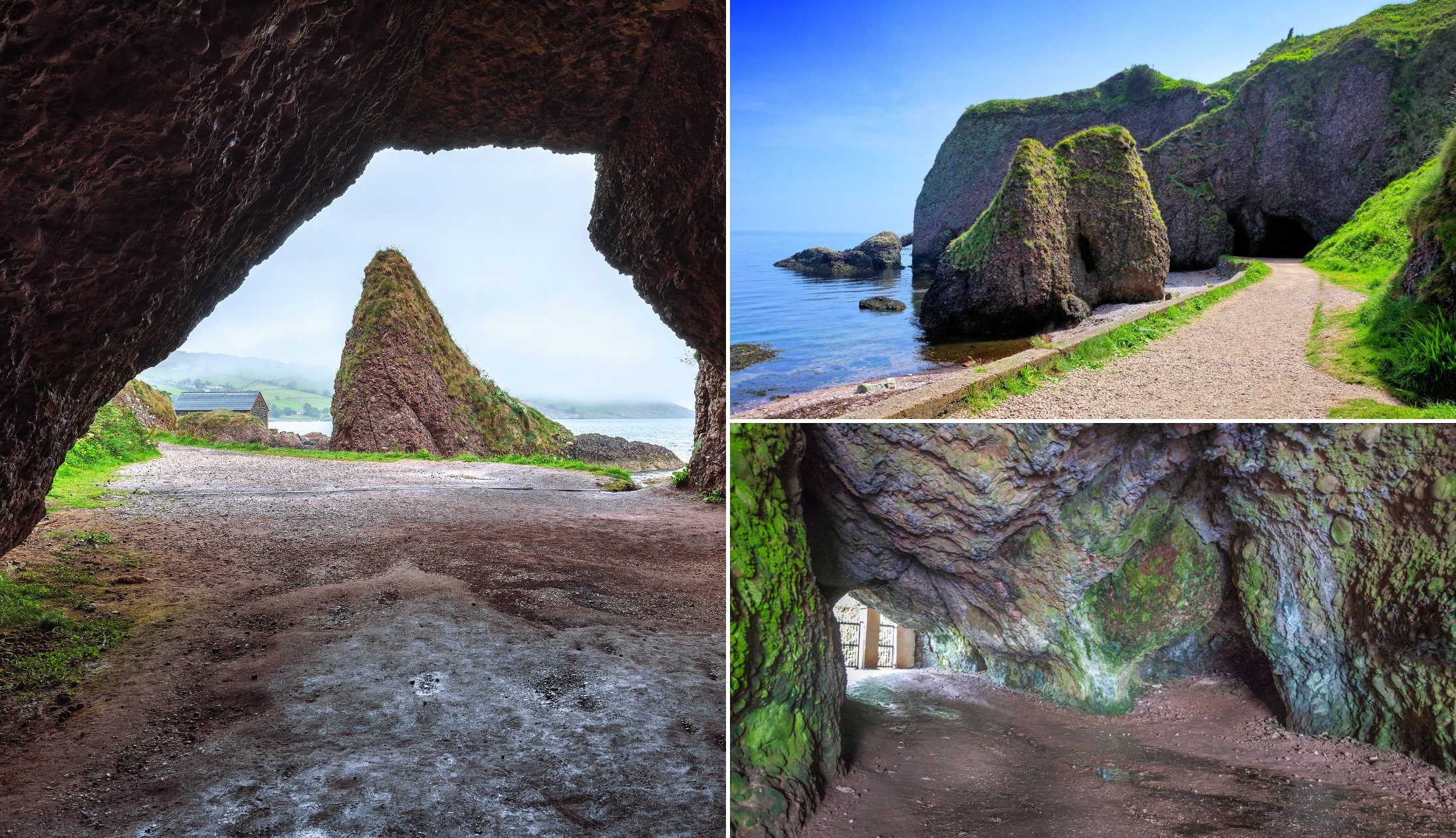
Cushendun Beach and the Cushendun Caves should be your first couple of stops. The, you have the Antrim Glens to explore.
See the waterfalls in Glenariff Forest Park or take the stroll up to nearby Cranny Falls.
Continue on for a tour of Glenarm Castle or make your way towards Belfast, stopping at the Gobbins and Carrickfergus Castle.
FAQs about the Torr Head Drive
We’ve had a lot of questions over the years asking about everything from where does the Torr Head Drive start to whether or not it’s dangerous.
In the section below, we’ve popped in the most FAQs that we’ve received. If you have a question that we haven’t tackled, ask away in the comments section below.
Is the Torr Head Drive dangerous?
If you take your time, use caution and drive carefully then no. However, on a misty day, parts of the route become almost completely covered so yes, it can be dangerous.
Is Torr Head worth visiting?
Yes. This is a great detour on the Causeway Coastal Route. Especially if you visit on a clear day when you can soak up views of Scotland.
Is there parking at Torr Head in Northern Ireland?
There’s parking at the end of the hill, yes. Note: if you’re visiting during he busy summer months the car park can fill up quickly.
Keith O’Hara has lived in Ireland for 35 years and has spent much of the last 13 creating what is now The Irish Road Trip guide. Over the years, the website has published thousands of meticulously researched Ireland travel guides, welcoming 40 million+ visitors along the way. In 2022, the Irish Road Trip team published the world’s largest collection of Irish Road Trip itineraries. Keith lives in Dublin with his dog Toby and finds writing in the 3rd person minus craic altogether.
Rosmarinus H
Thursday 23rd of February 2023
Hello, we are just back from there. A couple of elderly pensioners! The views are spectacular but the road/drive itself no good for the heart! We did it, despite a tractor in the way - then we rounded a blind narrow bend to find a chap who had stopped his car to take pictures. At the end of the day, it is steep, it is scary, you really must be careful but I am so glad we did it. Enjoy....
Phyllis Ryan
Sunday 30th of January 2022
Is torc head drive doable in a vw t5 lwb campervan We’re hoping to go there this summer
Sam
Wednesday 13th of July 2022
@Phyllis Ryan, no sorry not suitable for camper vans, motorhones or coaches, the roads are too narrow and very very steep with sharp sudden bends in the road
Keith O'Hara
Monday 31st of January 2022
Hey Phyllis - I'm not sure to be honest. I do know that there's signs saying certain sized vehicles can't use the road, but I can't for the life of me remember which. Sorry - I know that's not much help!