The Slieve Foye hike is one of the best walks in Louth and it’s arguably one of the best things to do in Carlingford.
However, the trail can be tricky to follow in places and, as there are a couple of different starting points, it’s easy to get confused.
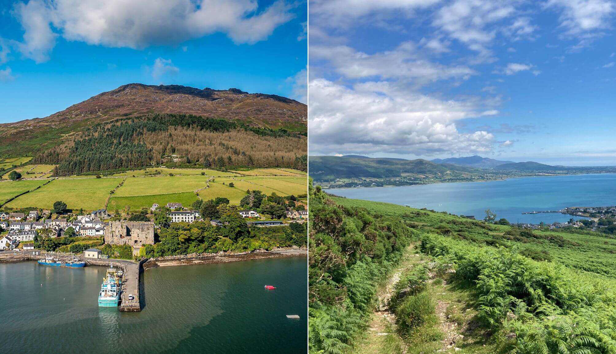
Looking out over historic town of Carlingford, Slieve Foye is the highest of the Cooley Mountains and the highest in County Louth.
But, as the cracking forest hike below will show, you don’t need to reach the mountain’s summit to be blessed with some seriously impressive views.
About Slieve Foye Mountain
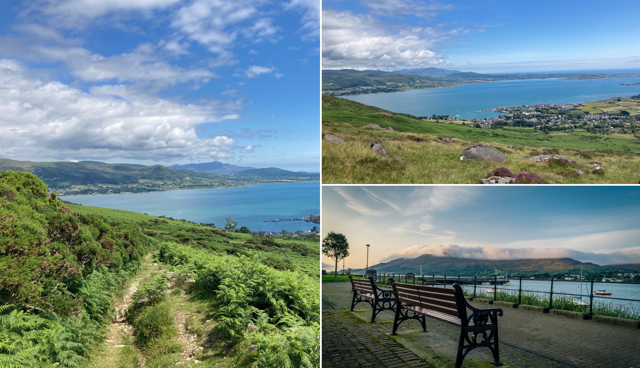
Photos via Shutterstock
At 1,932 ft, Slieve Foye is the tallest mountain in Louth and its Irish name – Sliabh Feá – means “mountain of the woods” (which, as you’ll see later, makes perfect sense!).
This is a very hard to follow trail in places, so please read the points below, first.
1. Location
Slieve Foye is located on the Cooley Peninsula, a relatively wide peninsula in the far northeast of the Republic of Ireland, with Northern Ireland beginning just north of Carlingford Lough. The mountain can be tackled right from the heart of the town.
2. Several different trails
When you get your boots on and head out from the village, you’ll notice a bunch of waymark arrows of different colours. That’s because there are a few different trails to hit here (including the lengthy 14km Barnavave Loop) but today we’ll be checking out the Slieve Foye Loop.
3. How long it takes
And at a solid 9km, the Slieve Foye Loop is no short ramble! Bearing that in mind, it should take around two and a half to three hours to complete.
4. Difficulty
With its length and hiking time, the Slieve Foye Loop is designated a strenuous walk (and there’s an ascent of 270 metres!) so be prepared before you arrive.
5. Parking
Parking in Carlingford can be an absolute nightmare at the weekend. There’s a car park in the town (here on Google Maps). There’s also parking right in front of Carlingford Lough, on the left as you enter the town (here on Google Maps).
6. Hiking boots necessary
Finally, don’t forget to wear a decent pair of hiking boots. The higher this trail goes, the more likely you are to encounter uneven ground and plenty of muddy spots. Better to be safe than sorry and wear a solid pair of boots to get you around this long aul trail.
An overview of the Slieve Foye Hike

Map via Sport Ireland
So, in this guide, we’ll be taking you through the ‘Slive Foye Loop’, which follows blue arrows. The arrows are easy to miss in places, mainly due to overgrowth, so make sure to keep an eye out.
The map above with give you a good sense of the Slieve Foy hike, but I’ll take you through it below.
Start point
As you walk through the village, keep an eye out for Ma Bakers (you can’t miss it). You’ll want to take a right here and continue to follow the road upwards.
Eventually, you’ll reach a little t-junction with two stones walls ahead of you. There’s a clear, well trodden trail (here on Google Maps) from here that’ll get you started.
The forest
Follow the blue arrow along the track past some gates and into the dense forest (it can get very thick in places).
With green pine and spruce trees to your left, the loop then continues through the forestry for around 1km before reaching a forestry trail (on the left) where the two loops turn left and ascends gently to reach the edge of forest.
A 20m climb then takes you to a stile crossing a wire fence. Navigate the stile, head left and continue to follow the wire fence for around 1km to reach the end of the forest. This is a great spot to stop for a breather and grab photos of the surrounding landscape.
Getting into the belly of the walk
Continue to follow the blue arrows for 300m to reach a bend in a grassy roadway where you’ll veer left and downhill. Again, keep in mind that, in parts of the Slieve Foye Loop, the trail can be tricky to see, so take your time and watch where you’re going.
Follow this for around 500m before reaching a wooden gate – pass through the gate and follow the arrows to the left. The loop now sweeps downhill to the right and, after 500m, joins a surfaced roadway that’s easy to walk. Here you’ll rejoin the Barnavave Loop before turning left and downhill.
Heading home
Look out for the parish church on the outskirts of the village and turn left and back to the village square. From here, it’s a short 100m stroll back to the trailhead In Carlingford.
You’ll past by some of the livelier pubs in Carlingford on your way. If you were tempted, we couldn’t blame you.
Things to do after climbing Slieve Foye
One of the beauties of the Slieve Foye Loop, and many of the Carlingford walks, is that it’s a short walk from plenty to see and do.
Below, you’ll find a handful of things to see and do a stone’s throw from Slieve Foye (plus places to eat and where to grab a post-adventure pint!).
1. Food (or a pint) in Carlingford Village
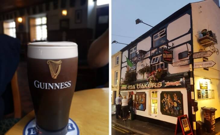
Photos by The Irish Road Trip
Need a well-earned feed after a 2-3 hour trek across Louth’s highest mountain? Don’t worry, as there are plenty of excellent restaurants in Carlingford. Or, if you have a designated driver, there are some cosy pubs in Carlingford where you can kick-back with a tipple.
2. Cycle the Carlingford Greenway
Photos by Tony Pleavin via Ireland’s Content Pool
While there are plenty of trails to walk in the area, there’s also plenty of scope for heading out on two wheels and nowhere is better for that than cycling the Carlingford Greenway. Stretching 7km down the shoreline, it runs between Carlingford and Omeath and offers some stunning views of the peninsula along the way.
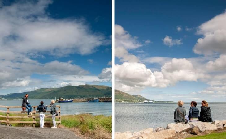
3. Take the Carlingford Ferry to Greencastle
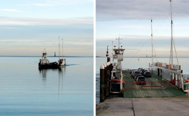
Photos via Shutterstock
Surrounded by rising mountains and a vast body of water, taking the Carlingford Lough Ferry across Carlingford Lough is one of the best ways to appreciate this cinematic landscape. Running between Greenore in County Louth and Greencastle in County Down, the Scenic Carlingford Ferry has a fairly short journey time of 15 minutes but unique views from the water are well worth it.