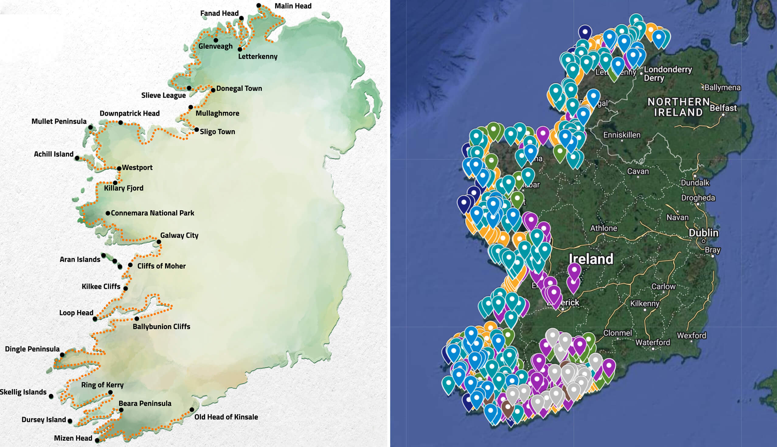
I created a Wild Atlantic Way map over the course of around 30 hours.
I’d be lying if I said it hasn’t been a nightmare of a task (and one that’s ended in repetitive strain disorder!).
However, the result is, from what I can tell, one of the most complete interactive West Coast of Ireland maps available online.
About the Wild Atlantic Way map
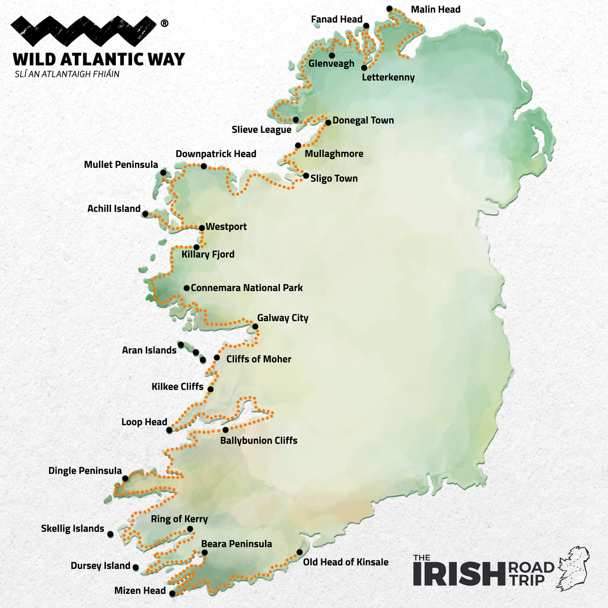
The map above will give you a very quick overview of the layout of the Wild Atlantic Way. Below, you’ll find some need-to-knows about my interactive West Coast of Ireland map:
1. It has hundreds of attractions split into categories
For example, the blue pointers on my Wild Atlantic Way map below show often-missed viewpoints that look out onto incredible scenery while the turquoise pointers show the key attractions on the Wild Atlantic Way.
2. It includes ‘main’ discovery points and hidden gems
You’ll often hear of the Wild Atlantic Way discovery points. These are specific locations along the Wild Atlantic Way route that have WAW signs and that tend to mark a point of significance. I’ve included these, but I’ve also included many hidden gems that aren’t designated discovery points.
3. Always use caution when using Google Maps like this
Although I’ve tried my best to plot accurate locations on the West Coast of Ireland map below, mistakes happen. This tends to be caused by where a location is plotted within Google Maps. So, please, always use caution.
The interactive Wild Atlantic Way Google Map
To use my Wild Atlantic Way Map, simply click it and zoom in on whatever part of the route you’re looking to explore.
I’ve included many of the places in the map in my 11-day Wild Atlantic Way itinerary.
Here’s an overview of what to expect from the various places and things that I have plotted.
The pink pointers: ‘Main’ Towns + Villages
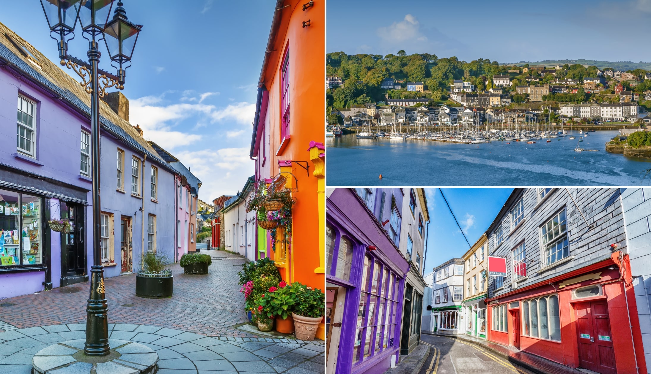
Photos via Shutterstock
There’s plenty of charming towns and villages dotted right the way along the Wild Atlantic Way.
Although some, like Kinsale, Killarney and Westport, are fairly well known, others, like Allihies, Union Hall and Eyeries, tend to get overlooked.
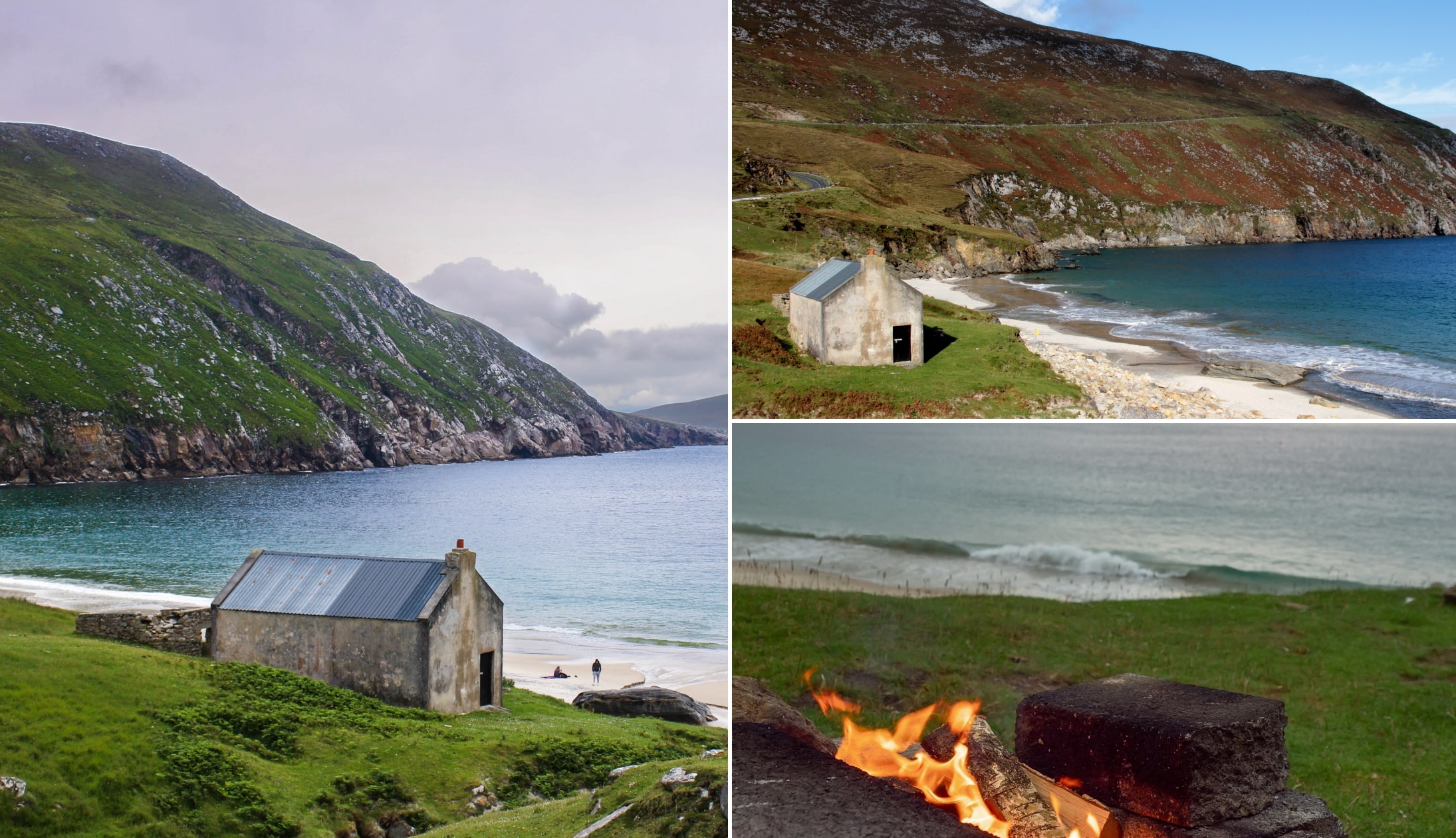
The orange pointers: Beaches
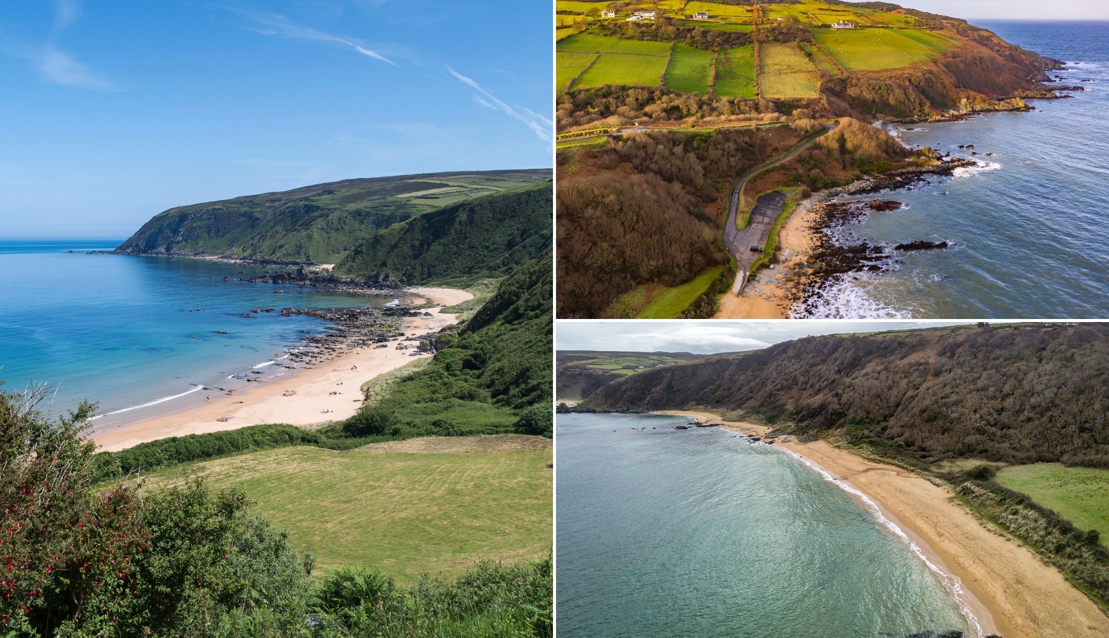
Photos via Shutterstock
There’s some incredible beaches in Ireland and, as it happens, many are located along the West Coast of Ireland.
Some of the more famous beaches that you’ll find on my Wild Atlantic Way map are Keem Bay and Coumeenoole Beach.
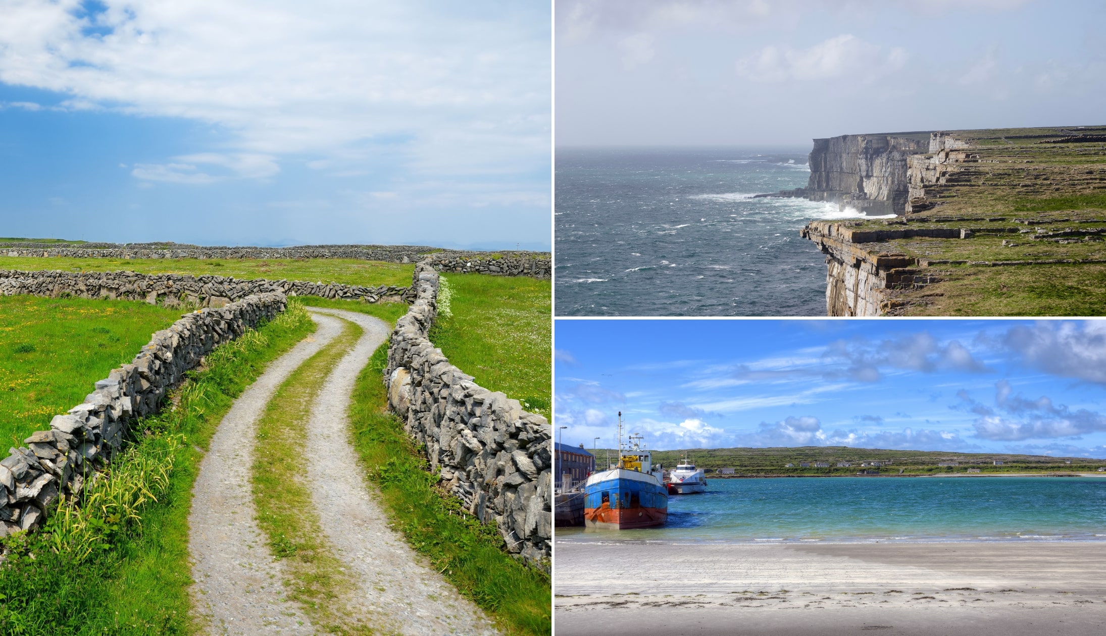
The navy pointers: Accessible islands
Photos via Shutterstock
Many of Ireland’s islands offer a unique experience that you won’t find on the mainland. The likes of the Aran Islands and Arranmore Island are usually tourist hotspots, but there are plenty more to consider.
For example, if you zoom in on the coast of my Wild Atlantic Way map, you’ll see the likes of Dursey Island, Bere Island and Cape Clear Island off of West Cork.
The purple pointers: Castles
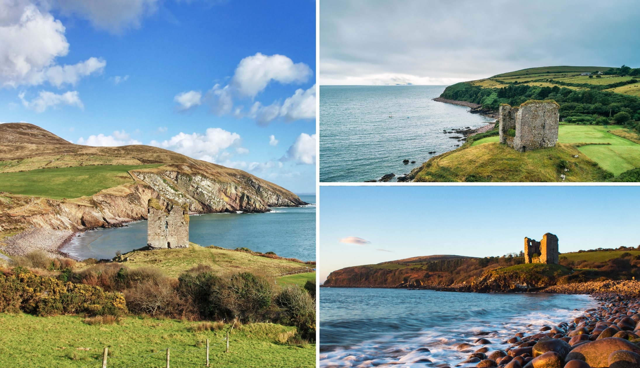
Photos via Shutterstock
Some of the finest castles in Ireland are dotted along the Wild Atlantic Way route.
Although some, like Doonagore Castle in Doolin are on the main tourist track others, like Minard Castle on the Dingle Peninsula, lay a little off the beaten path.
The turquoise pointers: Key attractions
Photos via Shutterstock
The turquoise outline the Wild Atlantic Way’s main attractions, like the Ring of Kerry, Killarney National Park and Croagh Patrick.
You’ll have very likely heard of many of these but I’ve also thrown in some great slightly hidden gems, like Brow Head.
The brown pointers: Rainy day attractions
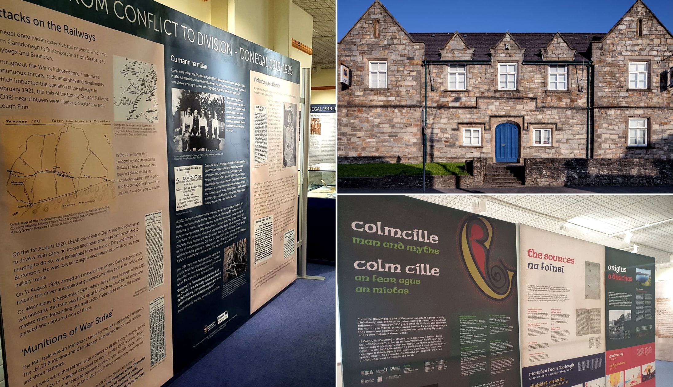
Photos via Donegal County Museum on FB
This is probably the most neglected section of my West Coast of Ireland map and it’s dedicated to rainy day attractions.
The brown pointers include everything from museums and aquariums to some slightly unusual indoor attractions.
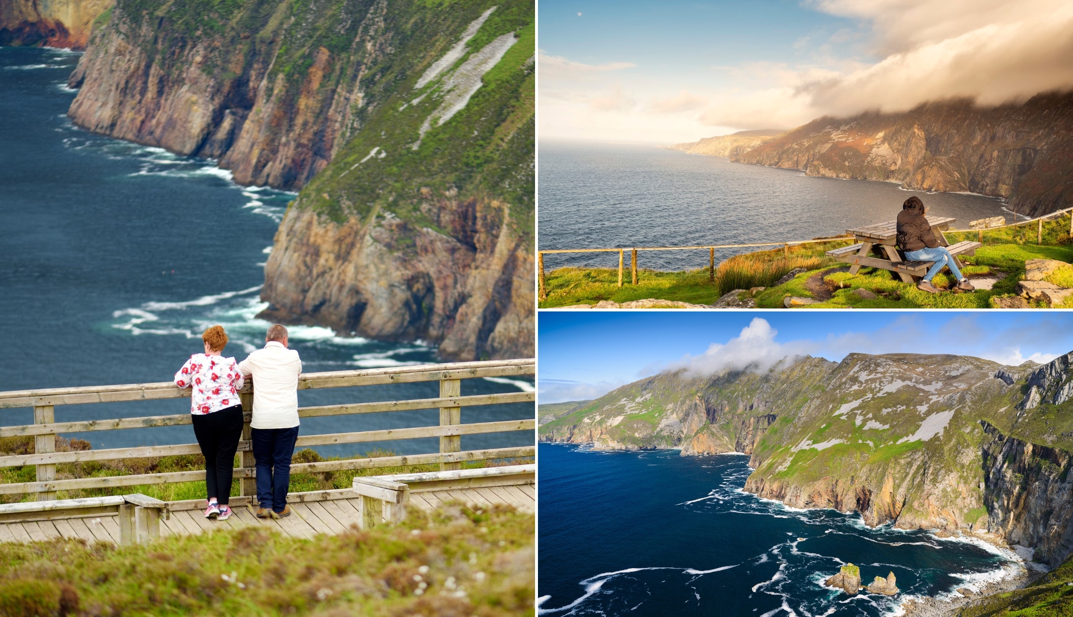
The blue pointers: Viewpoints

Photos via Shutterstock
This section of my Wild Atlantic Way map took the longest and, in my opinion, it’s the section that’s worth paying the most attention to.
The Wild Atlantic Way has endless viewpoints but many of them aren’t widely known. The blue pointers will take you to my favourites.
The grey pointers: Family attractions
Photos via Shutterstock
The final pointers are the grey ones and these are for those of you looking for family-friendly attractions.
You’ll find everything from sheep farms and kid-friendly activities to gentle strolls and more here.
What has my Wild Atlantic Way map missed?
Although I tried my best, I have no doubt that there are places that I unintentionally missed when creating this West Coast of Ireland map.
If you’ve noticed somewhere that I’ve left off, please do let us know in the comments section below.
West Coast of Ireland map FAQs
Since publishing the Wild Atlantic Way map, we’ve had a clatter of emails asking everything from where the route goes to how long it takes.
Below, we’ve answered the most FAQ. Shout if you have one that we haven’t covered.
Is there an interactive Wild Atlantic Way map?
Yes, it’s in the body of our article above. You can save it to your phone, zoom in on locations and find endless things to see and do.
How long does the Wild Atlantic Way take to drive?
This is an ‘How long is a piece of string’ type question. Ideally, you need as long as you have, as it’s a lengthy route that needs time. However, the minimum that you could do it in is 7 days.
Keith O’Hara has lived in Ireland for 35 years and has spent much of the last 13 creating what is now The Irish Road Trip guide. Over the years, the website has published thousands of meticulously researched Ireland travel guides, welcoming 40 million+ visitors along the way. In 2022, the Irish Road Trip team published the world’s largest collection of Irish Road Trip itineraries. Keith lives in Dublin with his dog Toby and finds writing in the 3rd person minus craic altogether.
Faye Harding
Friday 2nd of May 2025
Thank you for the hard work
John D O'Sullivan
Monday 12th of June 2023
Thanks for this wonderful resource.