Ireland’s highest mountains aren’t about polished trails or gentle climbs. They’re rough, exposed, often confusing to navigate, and shaped by weather that can turn quickly. That’s exactly the appeal.
From the Reeks in Kerry to the high plateaus of Wicklow and the Mournes, these peaks reward effort with scale, isolation, and views that feel earned.
Some routes are straightforward on a good day. Others demand experience, patience, and the ability to turn back when conditions shift.
This guide focuses on the tallest mountains in Ireland, what makes each one distinct, and what kind of hiker they actually suit.
The highest mountains in Ireland: A quick word of warning

Photos via Shutterstock
Most of the mountains below are not suitable for casual or inexperienced hikers. Waymarked trails are often incomplete or nonexistent.
Mist, wind, and bog can turn a manageable climb into a serious problem fast.
If you don’t have solid navigation skills, proper gear, and experience on exposed terrain, go with a guide or join a local group.
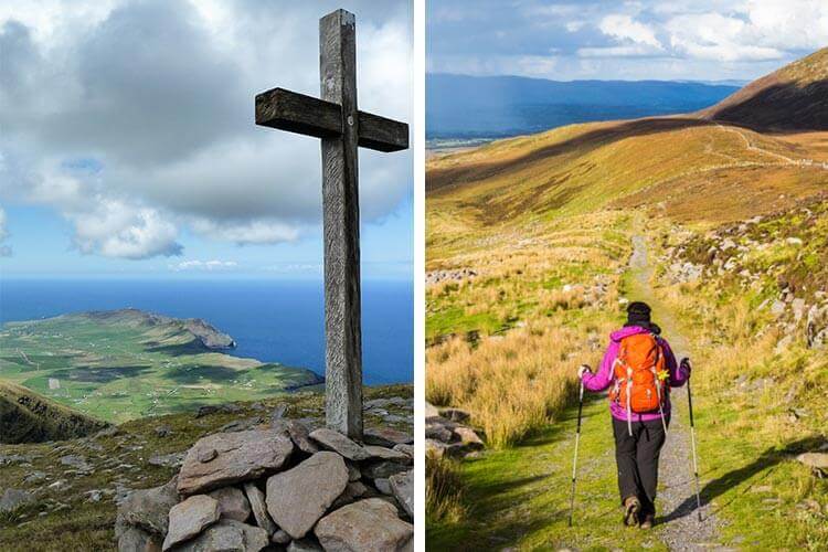
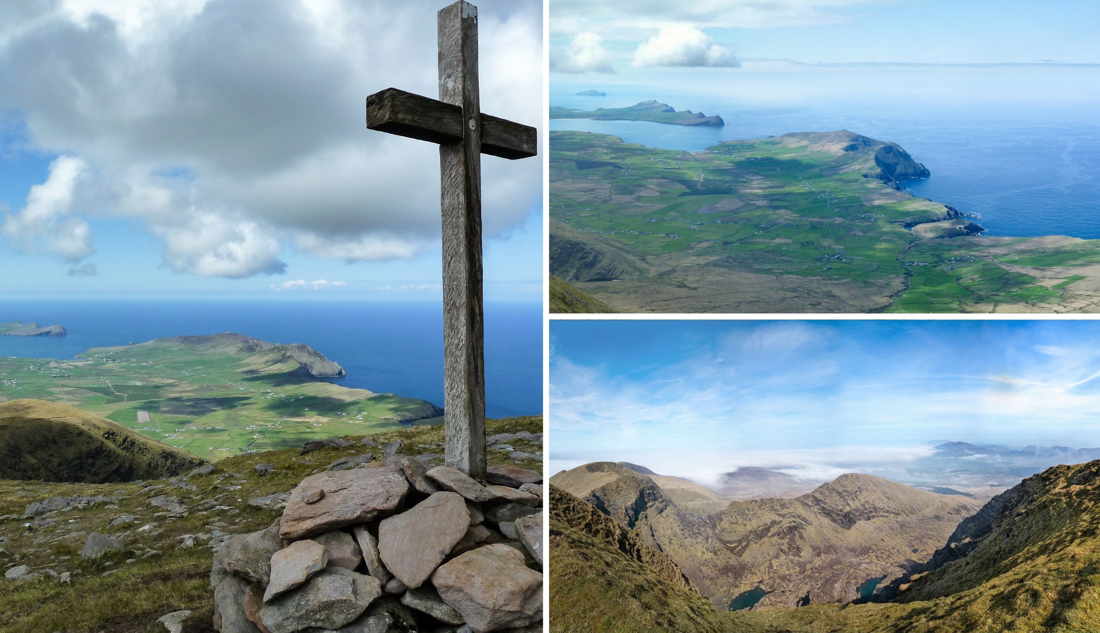
1. Carrauntoohil, County Kerry
Photos via Shutterstock
Carrauntoohil (1,038m) is Ireland’s highest mountain, located in the MacGillycuddy’s Reeks in County Kerry.
It rises sharply above Hag’s Glen and is climbed via several established routes, including long, gradual approaches and shorter, steeper lines that gain height quickly.
The terrain is rugged throughout, with loose rock and sustained gradients near the upper sections. This is a strenuous mountain hike that requires preparation and experience.
On a clear day, the summit offers expansive views across the Reeks, Killarney National Park and Kerry’s interior, with a sense of height that few other Irish peaks match.
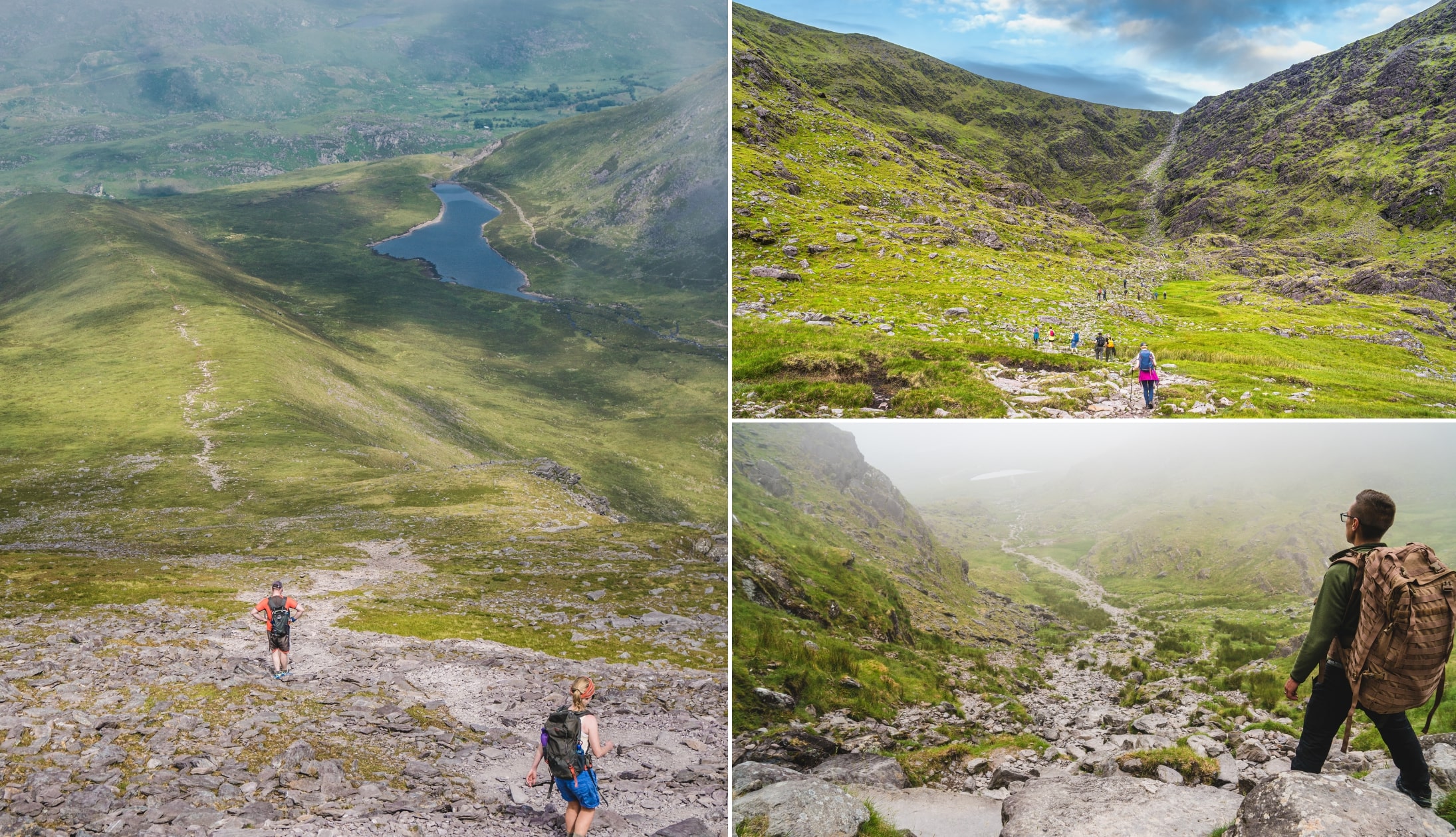
2. Cnoc na Péiste, County Kerry

Photo by Sean O’ Dwyer (Shutterstock)
Cnoc na Péiste (988m) is the highest peak in the eastern section of the MacGillycuddy’s Reeks and one of Ireland’s most substantial mountains by both height and prominence.
Its long, narrow ridge links Maolán Buí to The Big Gun, forming part of the classic eastern Reeks horseshoe.
The mountain rises above Lough Cummeenapeasta, a stark corrie lake that anchors the landscape below the summit. Terrain here is rugged and sustained rather than technical, with steep gradients and long ridge walking.
It’s usually climbed as part of a multi-peak route rather than in isolation, which adds to its scale and presence.
3. Mount Brandon, County Kerry
Photos via Shutterstock
Mount Brandon (952m) is the highest mountain outside the MacGillycuddy’s Reeks and one of the most prominent peaks in Ireland.
It sits at the centre of the Brandon Group on the Dingle Peninsula, rising sharply from the Atlantic edge.
The mountain is defined by contrast: broad, grassy slopes on the west and steep corries and cliffs on the east, carved by glaciers.
Several routes lead to the summit, including the well-known Saint’s Route and the more scenic Faha Route.
4. Lugnaquilla, County Wicklow
Photos via Shutterstock
Lugnaquilla (925m) is the highest mountain in the Wicklow Mountains and the tallest peak in Ireland outside Kerry.
It dominates the landscape above Glen of Imaal and Glenmalure, rising as a broad, flat-topped massif rather than a sharp summit.
The mountain is defined by scale rather than drama, with a wide plateau known as Percy’s Table and steep glacial corries falling away on all sides.
Several long routes lead to the top, including ascents from Glen of Imaal and Glenmalure. From the summit, views stretch across Leinster, the Irish Sea, and deep into the Wicklow uplands.
5. Galtymore, County Tipperary
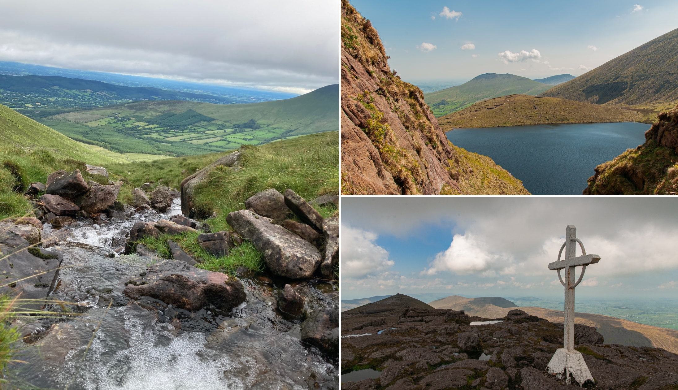
Photos via Shutterstock
Galtymore (918m) is the highest peak in the Galty Mountains and the tallest point in both Tipperary and Limerick.
It sits on a long, east-west ridge that forms Ireland’s highest inland mountain range, with broad grassy slopes to the south and steep corries and loughs carved into the northern face.
The summit is a wide plateau known as Dawson’s Table, marked by twin cairns and a prominent white cross.
Galtymore is commonly climbed via the Black Road route, but it also anchors longer ridge walks that take in much of the Galty range in a single outing.
6. Baurtregaum, County Kerry

Photo by Colm K (Shutterstock)
Baurtregaum (851m) is the highest mountain in the Slieve Mish range and one of the dominant peaks on the eastern end of the Dingle Peninsula.
Its name, meaning “top of the three hollows,” reflects the deep valleys that cut into its flanks, most notably Derrymore Glen to the north.
The mountain sits at the heart of a compact but rugged massif, linked by ridges to Caherconree and several subsidiary tops.
Broad slopes, long ridgelines and corrie lakes define the terrain here. Baurtregaum is most often climbed as part of a circuit rather than as a single out-and-back ascent.
7. Slieve Donard, County Down
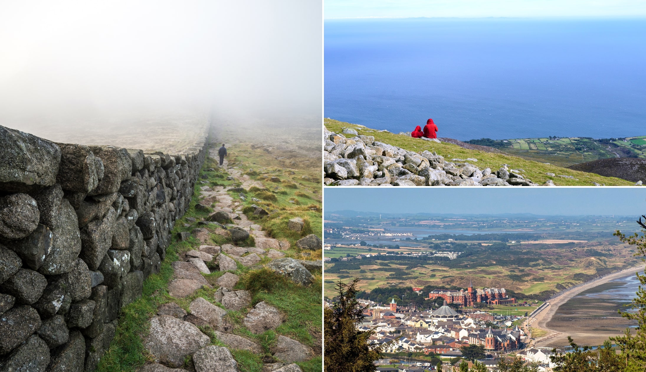
Photos via Shutterstock
Slieve Donard (850m) is the highest mountain in Northern Ireland and the tallest peak in the Mourne Mountains.
It rises directly above Newcastle in County Down, with its eastern slopes falling sharply toward the Irish Sea.
The summit is broad and stony, marked by the Mourne Wall, a small stone tower, and the remains of two prehistoric burial cairns, including the highest known passage tomb in Ireland.
Donard’s position gives it a strong coastal presence, with clear views across Dundrum Bay and along the Mourne range.
8. Mullaghcleevaun, County Wicklow

Photo by mikalaureque (Shutterstock)
Mullaghcleevaun rises to 849 metres, making it the second-highest mountain in the Wicklow Mountains after Lugnaquilla.
It sits on the central spine of the range, stretching between the Sally Gap and Tonelagee, and is defined by its broad, boggy summit plateau.
Just below the top lies Lough Cleevaun, the highest natural lake in Wicklow, tucked into a deep northern corrie.
The mountain overlooks the Blessington Lakes to the west, while its southeastern slopes feed the Glenmacnass River. Mullaghcleevaun is a substantial, exposed hill that feels remote despite its proximity to Dublin.
9. Mangerton, County Kerry

Photo by Owen Michel (Shutterstock)
Mangerton rises to 838 metres and dominates the eastern side of Killarney National Park.
Unlike the sharp ridges of the nearby Reeks, this is a broad, boggy mountain with a vast summit plateau and deep glacial corries cut into its northern flanks.
The most striking feature is the Devil’s Punchbowl, a dark corrie lake set high on the north-west face, with steep walls dropping into the Owengarriff catchment below.
Mangerton’s western slopes fall toward the Lakes of Killarney, while the southern side opens into a wide expanse of upland wilderness that feels notably remote for its location.
10. Caherconree, County Kerry

Photo by Pawel Krawiec (Shutterstock)
We’re back to Kerry next (again, I know!). Caherconree has a peak elevation of 835 meters and it’s part of the Slieve Mish mountain range.
Offering majestic views of Tralee Bay, Caherconree is home to some of the best walking routes in Ireland.
Most routes here start at the “Road of the stones” and have marker posts that help hikers reach the summit.
Make sure to check out the Caherconree Fort, the highest stone promontory fort in the country with many mythological stories around it.
11. Beenoskee, County Kerry

Photo by Colm K (Shutterstock)
Beenoskee rises to 826 metres on the central spine of the Dingle Peninsula and is the highest peak in the Central Dingle Mountains.
It stands north of Stradbally Mountain, with Lough Acummeen sitting high in the saddle between the two.
The mountain’s broad upper slopes overlook Brandon Bay and the Atlantic beyond, giving it a strong coastal presence despite its inland position.
Unlike the sharper profiles of Mount Brandon to the west, Beenoskee has a wide, open summit that feels exposed and expansive. Its Irish name, Binn os Gaoith, is thought to relate to height above an estuary rather than wind.
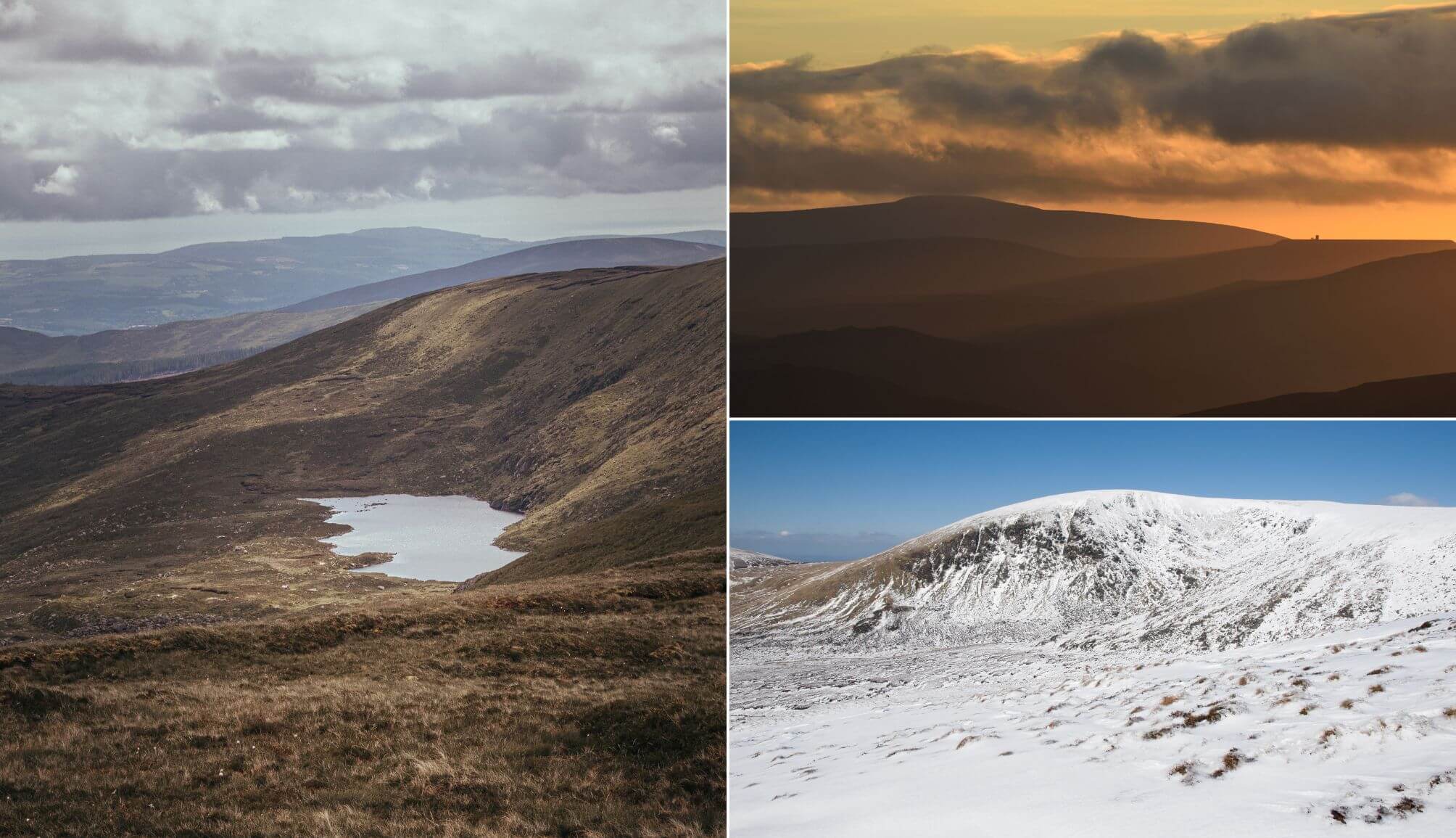
How many of the highest mountains in Ireland have you conquered?
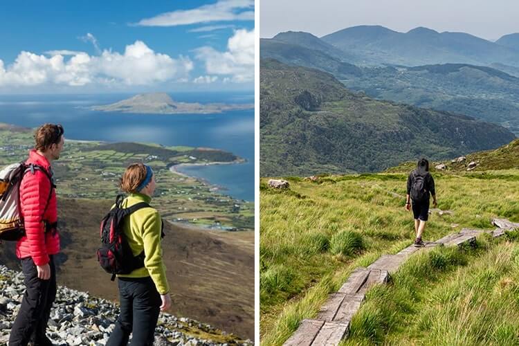
Photo left: Gareth McCormack. Right: Poogie (Shutterstock)
If you fancy discovering more mighty places to explore on foot, drop into our guide to the best walks in Ireland.
Keith O’Hara has lived in Ireland for 35 years and has spent much of the last 13 creating what is now The Irish Road Trip guide. Over the years, the website has published thousands of meticulously researched Ireland travel guides, welcoming 40 million+ visitors along the way. In 2022, the Irish Road Trip team published the world’s largest collection of Irish Road Trip itineraries. Keith lives in Dublin with his dog Toby and finds writing in the 3rd person minus craic altogether.