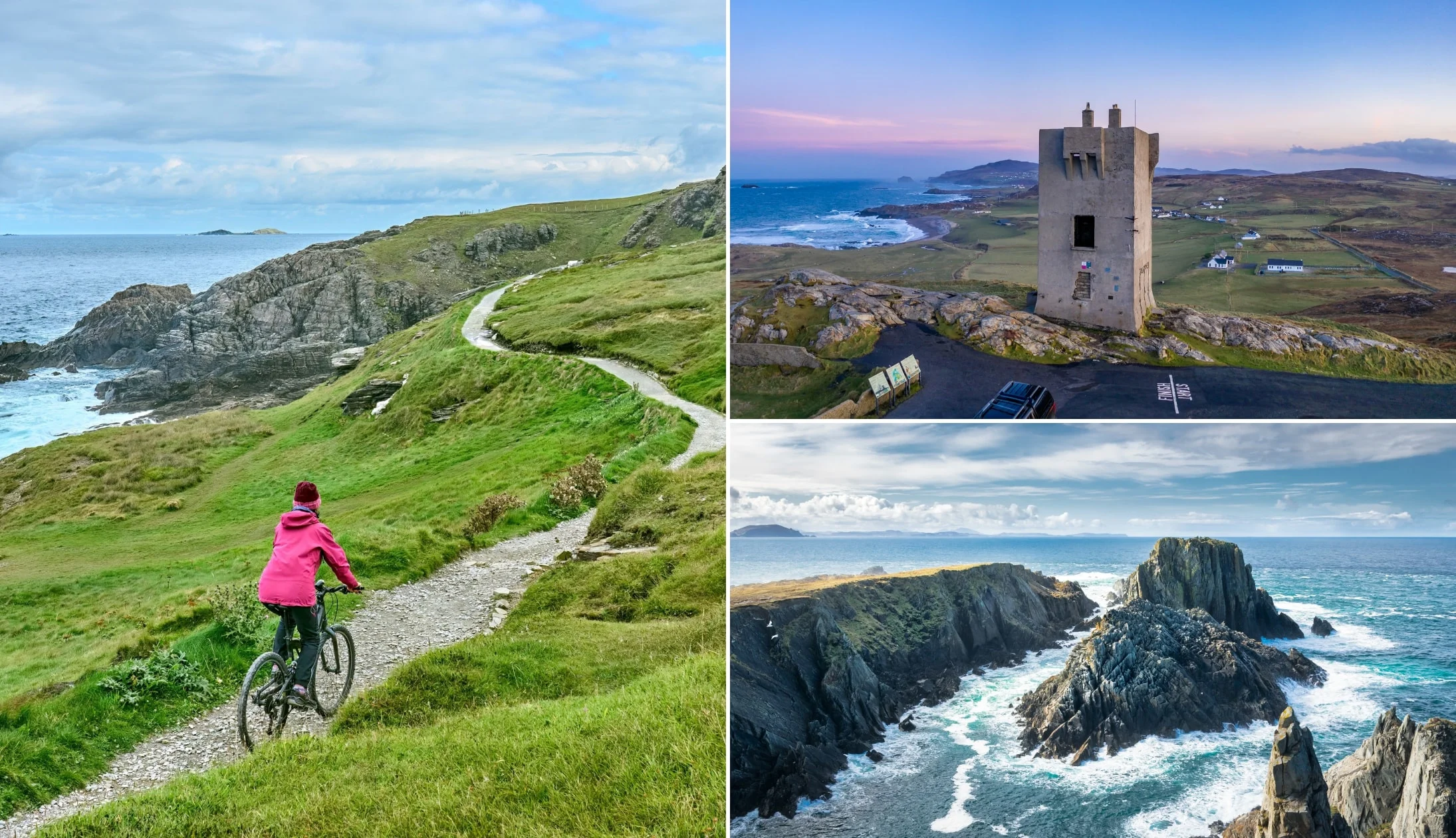
Many who visit Malin Head in Donegal arrive with no plan and leave feeling underwhelmed.
One of the key attractions in Ireland thanks to its fame as the islands most northernmost point, tourists flock here in their thousands to explore the coast.
However, the area is vast and it’s easy to end up wandering aimlessly around. Below, you’ll find:
- Map 1: Showing the Malin Head Walk
- Map 2: Outlines the different things to do in Malin Head
Key visitor information for Malin Head

Photos via Shutterstock
So, it’s easy to arrive at Malin Head and become quickly frustrated, as there’s no clear signage around what there is to see and do. Take 30 seconds to read the points below to get you started:
1. Location
You’ll find Malin Head at the tip of the Inishowen Peninsula. It’s a 30-minute drive from Ballyliffen and a 40-minute drive from both Greencastle and Buncrana.
2. Parking, toilets + coffee
There’s a decent bit of parking at Malin Head (here on Google Maps). It’s relatively quiet throughout the year, but crowds swell during summer. There’s toilets at the car park and a coffee truck (Caffe Banba) not far from the tower.
3. Ireland’s most northerly point
Malin is Ireland’s most northerly point while Mizen Head in Cork is Ireland’s most southerly.
4. The walk
The Malin Head Walk is a relatively easy-going stroll that takes 1 hour and that stretches for 2.5k. It takes in the main things to do in the area and I’ve outlined it in a map below.
5. The Northern Lights
Due to the peak in the sun’s activity, Malin Head is a good location to see the Northern Lights in Ireland. If the conditions are right (info here), you can catch a glimpse of the lights dancing in the night sky above the peninsula.
6. Star Wars link
Yes, there’s a Malin Head Star Wars link. Scenes from The Last Jedi were filmed at Malin Head over three days in 2016. The iconic Millennium Falcon was built on the edge of the coastline and locals recall the actors popping into Farren’s Bar for drinks.
The Malin Head walk

If you’re looking for things to do in Malin Head, this walk is a good place to start. It kicks off at the car park and gives you a good look at the areas main points of interest.
It’ll take you up to Lloyds Signal Tower, first, before giving you an eyeful of the EIRE 80 sign.
You’ll then continue along the coast, passing Hells Hole, and finishing at the Malin Head viewpoint.
Some key info:
- Difficulty: Moderate
- Distance: 2.5km
- Length: 1 hour
- Start point: Car park
Things to do in Malin Head

The map above shows where the various things to do in Malin Head can be found.
Personally, I think the easiest way to get to each in a logical manner is to follow the Malin Head walk outlined above.
1. Caffe Banba

Photos via Caffe Banba on FB
Caffe Banba, Ireland’s most northerly bakery and café, is located up by Banba’s Crown (the tower).
It runs here from Easter to September.
2. Banba’s Crown

Photo licensed from Lukassek
Banba’s Crown marks the northernmost point at of Ireland.
The old lookout and tower was originally built in 1805 to help defend against a potential French advance but was soon turned into a signal tower.
It was named after a mythical Celtic Goddess and is known more locally as simply “the tower”.
3. The Eire Sign

Photo licensed from cacei ro
Eire signs were navigational markers placed around the country to alert WWII pilots they were flying over neutral Ireland.
Although many are in disrepair, the Eire 80 sign at Malin Head has been restored so you can see the sign etched into the ground with white stones.
It’s located just past the tower.
4. Ballyhillin Beach and Inishtrahull Island

You can spot Inishtrahull Island several miles off the coast as you stroll.
This island is composed of the oldest rock in Ireland which is said to date back around 1.7 billion years.
Another ecological wonder to look out for is Ballyhillin Beach, just along the coast from Banba’s Crown.
This unique, raised beach is a clear demonstration of the higher sea levels from thousands of years ago.
5. Hell’s Hole

Photo licensed from DrimaFilm
If you follow the Malin Head walk that I mentioned above, you’ll come across deep ravines on the coast which is known as Hells’ Hole.
You’ll hear Hell’s Hole before you see it with the tide rushing into the cavern with incredible natural force.
6. The Malin Head viewpoint

Photo licensed from shawnwil23
The Malin Head viewpoint is towards the end of the walking trail.
It’s here that you’ll find several notable landmarks:
- Cliff of Pracha: Beautiful jagged cliffs that jut up from the sea
- Scheildren: Two rock formations that are Malin’s most photographed feature. The name is derived from the Icelandic word for “shield”
7. The history and wildlife

Photos courtesy Gareth Wray Photography via Fáilte Ireland
The area is considered one of the best places in Europe to wreck dive.
There are more ocean liners and German U-boats sunk off this particular stretch of coast than anywhere else in the world.
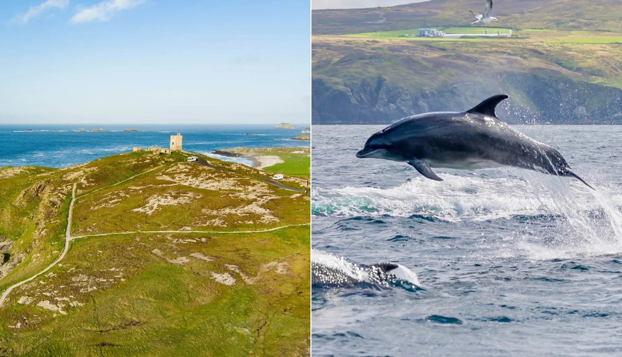
The chilly waters at Malin are also frequented by dolphins, whales, porpoise and seals.
8. Farren’s Bar

Photos via Farren’s Bar on FB
Farren’s Bar is the most northerly pub in Ireland and a great place to warm yourself up with a pint after exploring the area.
You’ll be in good company, as even Luke Skywalker (Mark Hamill) popped into the bar for a drink during the filming of The Last Jedi.
Things to do nearby

Malin Head in Ireland is part of the Inishowen 100 scenic drive, so it’s close to endless things to see and do.
Below, you’ll find things to do near that are within a reasonable driving distance away.
- Fiver Finger Strand (15-minute drive): One of the best beaches in Donegal. You can get a magnificent aerial view at Knockamany Bends
- Glenevin Waterfall (35-minute drive): There’s a lovely walk from the car park into the waterfall (20 – 25 minute)
- Doagh Famine Village (35-minute drive): A museum that offers an insight into life in the area from the 1800s to the present day
- More Inishowen magic (35-minute + drive): There’s plenty of things to do on the Inishowen Peninsula. From Kinnagoe Bay and Culdaff Beach to Fort Dunree, Mamore Gap and the Inishowen Head Loop


Michael Sheehan
Thursday 30th of September 2021
Thank you. Very informative. I walked the trail on Malin head today and was not disappointed by the incredible scenery. After Hells hole about 1.1 miles along the well maintained track, you can pass the stone stacks on a loose track and get to see even more extraordinary seascapes. Definitely with the hike.