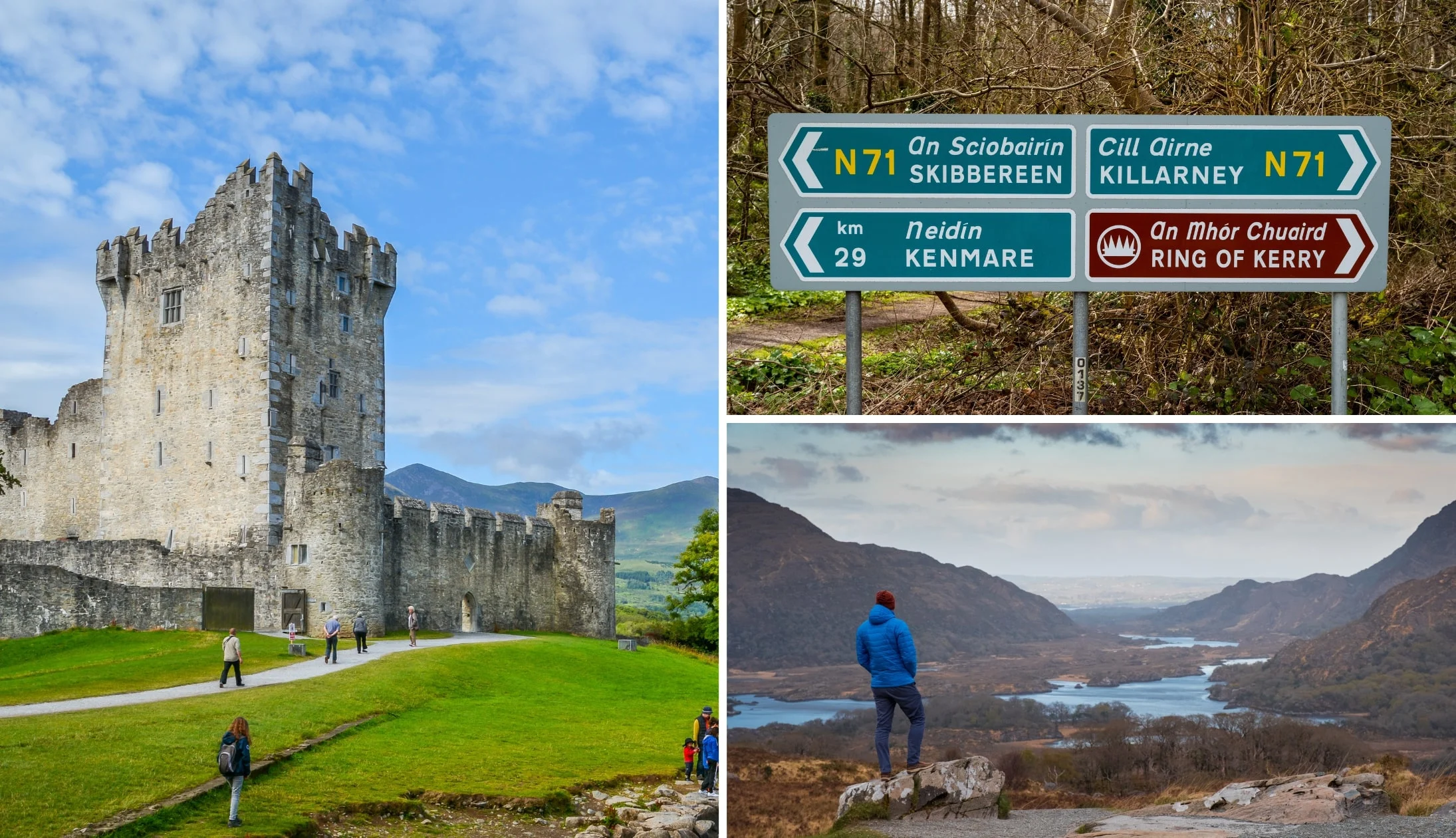
The quickest answer to ‘What is the Ring of Kerry?’ is that it is a scenic driving route that covers County Kerry’s Iveragh Peninsula.
However, having driven it 14 times during my 34 years in Ireland, I can tell you that the answer above undersells it a fair bit.
The Ring of Kerry route takes drivers, cyclists and walkers on a journey through some of Ireland’s finest scenery and through a host of charming towns and villages.
What is the Ring of Kerry in a little more detail
Right, let’s answer ‘What is the Ring of Kerry in a bit more detail, from the route, its length, the different attractions and more.
1. Location
The Ring of Kerry is a circular route around the Iveragh Peninsula in County Kerry, in the South West of Ireland along the Wild Atlantic Way.
2. Why it’s famous
The Ring of Kerry has been a tourist attraction for many years. In fact, it’s arguably one of Ireland’s stand-out attractions. In 1861, Queen Victoria and Prince Albert visited the area, exploring on horse and carriage. They were so taken with the area that Killarney’s Ladies View was named after their visit.
3. Its length
The Ring covers an impressive 179 km (111 miles) in total. Now, this is the ‘official’ length. If you scroll back up to our map you’ll see an additional section in the bottom left-hand corner called the Skellig Ring. This is a worthy addition to the Ring of Kerry and it takes in Valentia Island, the Skellig Islands and the Kerry Cliffs.
4. How long you’ll need
If you’re stuck for time, you can drive it in a day. Just keep in mind that it’ll be a fairly flat out day. Ideally, you’d want a day dedicated to Killarney and its surrounds (e.g. the Gap of Dunloe) and a day to drive the main route.
5. The highlights/main stops
You can’t answer ‘What is the Ring of Kerry?’ without talking about some of its key attractions. The most notable attractions along the route are Killarney National Park, Torc Waterfall, Molls Gap, Derrynane Beach and Kenmare.
6. Starting point
When people ask ‘Where is the Ring of Kerry?’ they often expect there to be one clear start and end point. The traditional start point is Killarney, however, you can kick-it-off at any point along the route. For example, if you’re staying on the Dingle Peninsula, you could easily start from near Killorglin and continue clockwise from there.
7. Main towns
The main Ring of Kerry towns are Killarney, Kenmare, Sneem, Caherdaniel, Cahersiveen, Kells, Glenbeigh, Killorglin and Waterville. There are plenty of charming little villages and towns along the route aside from these.
8. Culture
The entire length of the route is steeped in history and culture. Visitors will discover Irish speaking areas (gaeltachts), examples of rural Irish life and plenty of pubs running traditional music sessions. There is also countless forts, like Cahergal, and endless early Christian sites.
FAQs about what and where is the Ring of Kerry

Photos via Shutterstock
We’ve had a lot of questions over the years asking about everything from ‘Where is the Ring of Kerry entry point?’ to ‘What’s the best way to see it?’.
In the section below, we’ve popped in the most FAQs that we’ve received. If you have a question that we haven’t tackled, ask away in the comments section below.
What’s so great about the Ring of Kerry?
The Ring of Kerry combines some of Ireland’s tallest mountains, areas of immense natural beauty, like Killarney National Park, and a whole host of historical sites, like Derrynane House into one straightforward route.
Where is the Ring of Kerry located?
The Ring of Kerry is a circular route around the Iveragh Peninsula in County Kerry, in the South West of Ireland.
Keith O’Hara has lived in Ireland for 35 years and has spent most of the last 10 creating what is now The Irish Road Trip guide. Over the years, the website has published thousands of meticulously researched Ireland travel guides, welcoming 30 million+ visitors along the way. In 2022, the Irish Road Trip team published the world’s largest collection of Irish Road Trip itineraries. Keith lives in Dublin with his dog Toby and finds writing in the 3rd person minus craic altogether.


