Situated in the heart of the Dingle Peninsula, the Glanteenassig Forest Park is is a bit of a hidden gem.
While there’s many things to do in Dingle, it’s rare you see Glanteenassig Woods in travel itineraries, which means it’s a lot less busy than the likes of Slea Head.
With stunning loughs and breathtaking mountains, rushing rivers and serene valleys, this place has a lot going for it, as you’ll discover below!
Some quick need-to-knows before you visit Glanteenassig Forest Park
Photos via Shutterstock
Although a visit to Glanteenassig Woods is fairly straightforward, there are a few need-to-knows that’ll make your visit that bit more enjoyable.
1. Location
Located on the Dingle Peninsula in County Kerry, the Glanteenassig Forest Park is accessed from the R560, roughly a 40-minutes drive west from Tralee, or about the same northeast from Dingle Town.
2. Opening hours
Open in summer from 08:00 – 22:00, and in winter from 08:00 – 18:00, however it is closed overnight and does not permit camping or any other overnight accommodation (hours may change).
3. Parking
Despite the size of the park, the car park is small and offers ‘first come, first served’ styled parking. It can be VERY busy on good days, so get there early.
4. Home to numerous trails
How much time you spend in the park all depends on how many trails you want to explore; there are three, the Lough Caum (long), River Walk (medium), and Lough Slat (short). Make sure to stay away from private land adjacent to the forest park. Coillte have a map outlining the trails.
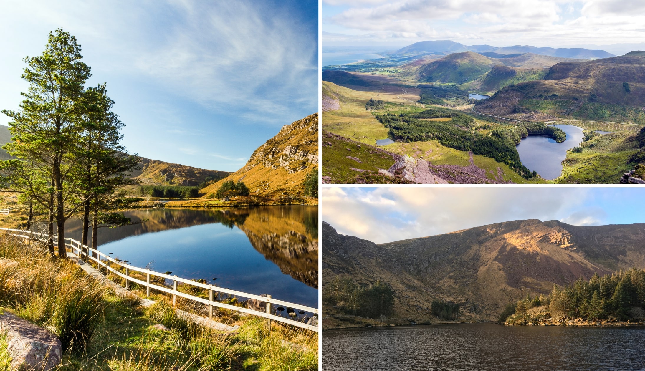
About Glanteenassig Forest Park
Photos via Shutterstock
One of the biggest areas of woodland you’ll come across in this part of Ireland, Glanteenassig Woods covers a whopping 450-hectares of forest, mountains, lakes and peatland.
The main entrance is just after the bridge crossing, and is the hub of the park; it has limited car parking, usually snapped up by early birds – as a popular local attraction, it can be very busy on sunny days.
The park itself is built in a sheltered valley below the Slieve Mish mountains, and is ideal for those seeking a remote escape; as access to the site requires going off the beaten track.
From within the park, you can take in views of Brandon Bay and Tralee Bay, as well as the Maharees tombolo.
Most of the forest dates to the 1950s and 60s, with large swathes of Sitka spruce and Lodgepole pine.
However, as you explore deeper, you can also find pockets of silver fir, larch, and beech, as well as native species like birch, alder, and holly.
On top of that, with miles of trails to hike, and lakes, where you can fish, make this forest park a nature lover’s dream escape destination.
The Glanteenassig Woods walks
Photos via Shutterstock
For a map outlining each of these trails, visit the Coillte website.
1. The River Trail (Easy. 30 mins. 1 km)
As the name indicates, this Easy trail winds its way around the stunningly beautiful Owencashla River as it cascades over the boulder-strewn river and creates mini waterfalls.
There is a small incline, a maximum of 15-metres, but it’s done slowly over distance, so won’t be an obstacle for anyone.
This is a short walk, about 1-kilometre. The walk takes about 30-minutes to complete, and it starts from the small car park near Timber Bridge.
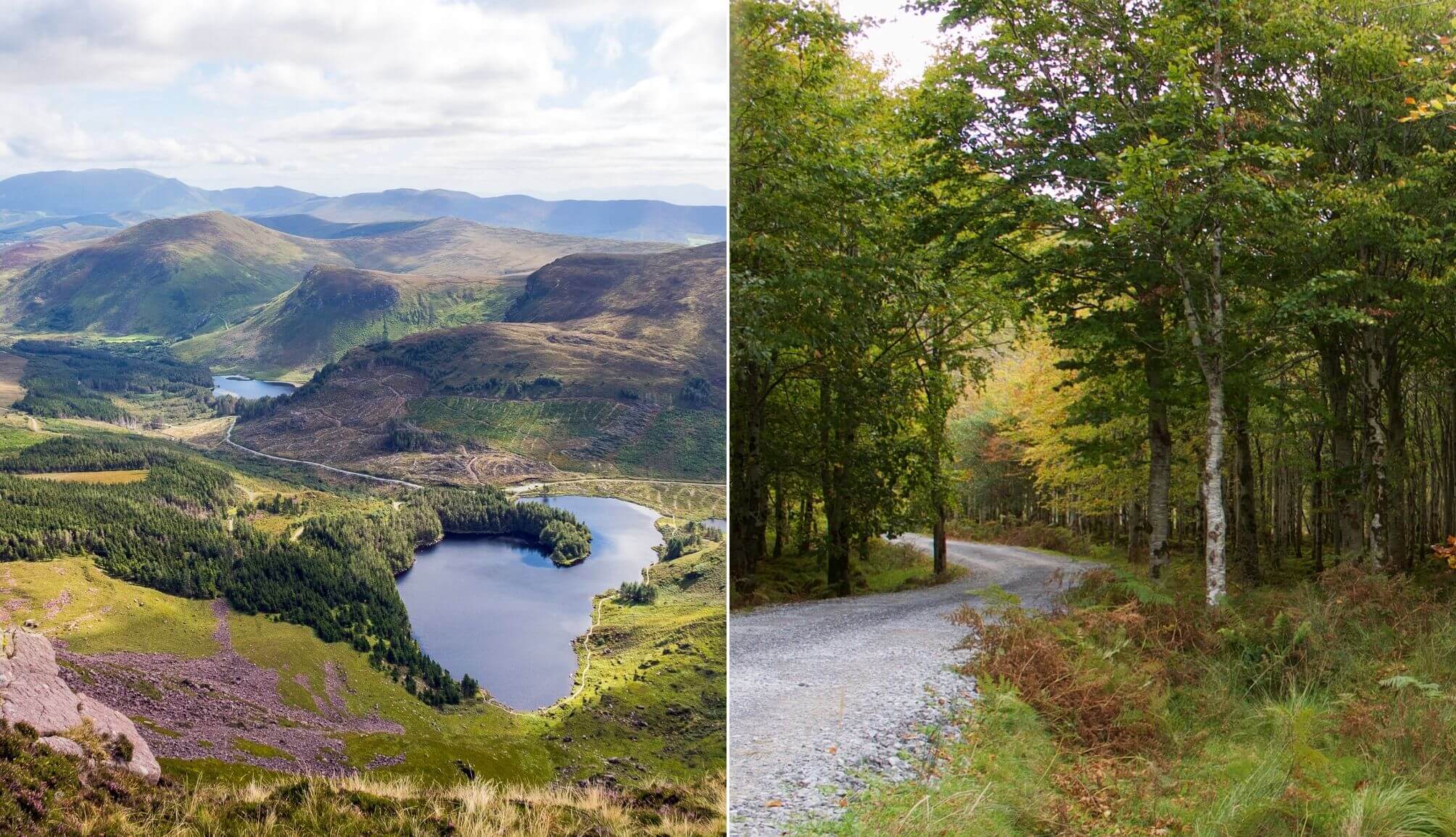
2. Glanteenassig – Lough Caum (Moderate. 60 mins. 2 km)
A bit more effort and energy are required for this Moderate trail, as it is twice the length at 2-kilometres.
This hike takes around an hour and circles Lough Caum which also includes some nature-rich bogs where you can spot a variety of insects and water life.
Views of Stradbally Mountain, Beenoskee, and Reamore Hill can be seen from the lake, and fishing here is possible with the appropriate licences and permits.
3. Glanteenassig – Lough Slat view (Easy. 10 mins. 0.3 km)
The Easiest and shortest of the walks, this walk is an access-friendly one, and is perfect for everyone to enjoy!
It’ll only take you about 5-mins to complete, but the memories of this spectacular location will last a lifetime!
Just 300-metres long in total, and with fantastic views of both Lough Slat and the imposing crag of ‘Carrignaspaniagh’ (which features in local folklore) looming on the near horizon, ensure this walk is unbelievably beautiful at any time of day.
Stop off at the nearby picnic tables for a relaxed meal with unbeatable scenery, or get your fishing line wet and see what lies beneath these mythical waters.
Things to do near Glanteenassig Forest Park
One of the beauties of Glanteenassig Woods is that it’s a short spin away from many of the best places to visit in Kerry.
Below, you’ll find a handful of things to see and do a stone’s throw from Glanteenassig (plus places to eat and where to grab a post-adventure pint!).
1. Beaches galore (10-minutes-plus drive)
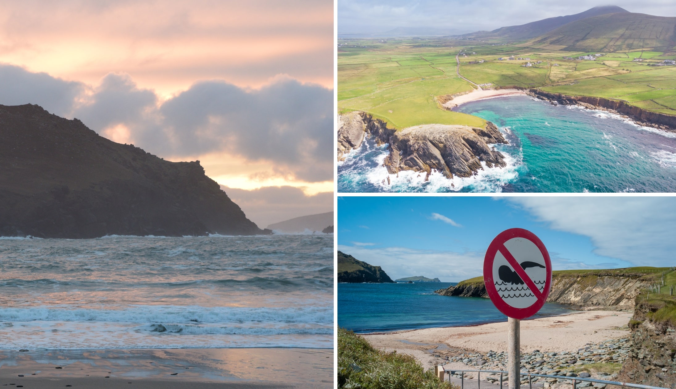
Photos via Shutterstock
There’s some brilliant beaches near Dingle, and some of the best of them are a short spin from Glanteenassig Woods. Inch Beach (35-minute drive) and Camp Beach (20-minute drive) are two of our favourites.
2. Mount Brandon (30-minute drive)
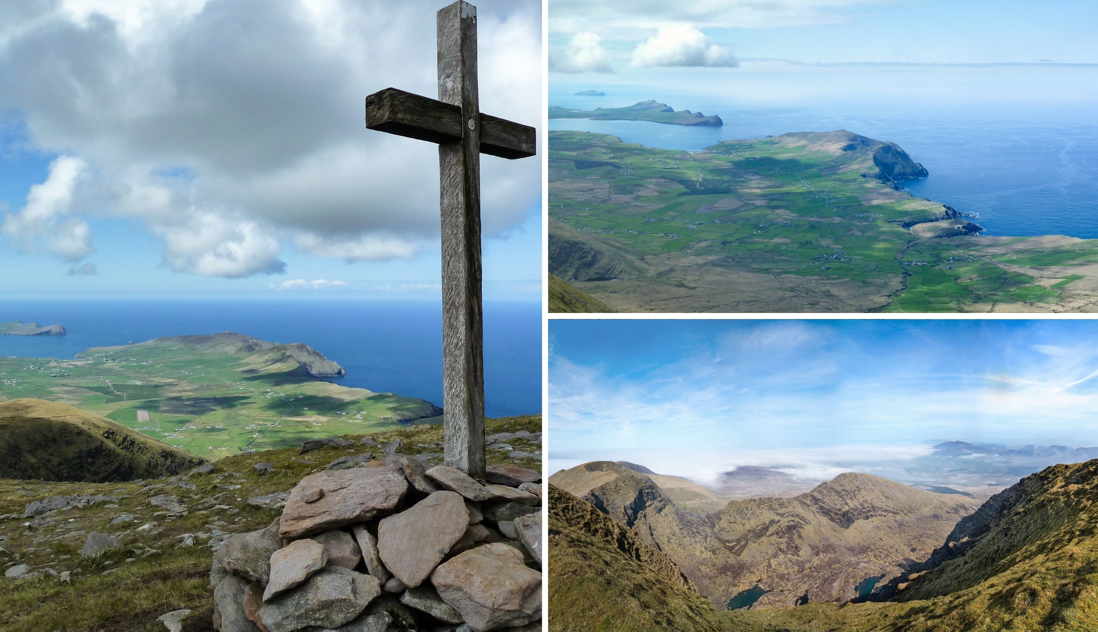
Photos via Shutterstock
Climb the 952-metre high Mount Brandon and take in the spectacular ocean views. This is a challenging hike that should only be attempted by those with hiking experience under their belt.
3. Conor Pass (30-minute drive)
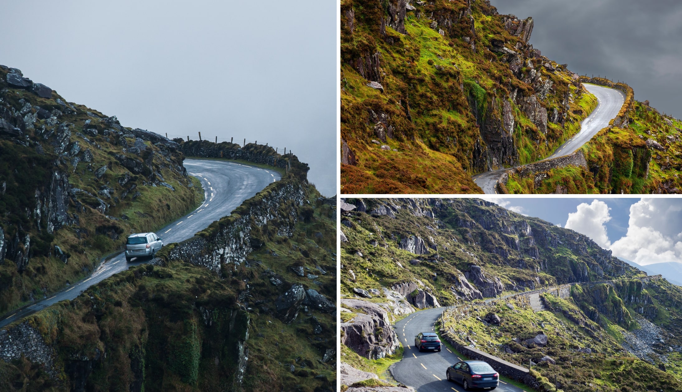
Photos via Shutterstock
Conor Pass is one for the bucket list; dramatic scenery with breathtaking views, and more than one gnarly twist and turn; take your time with this one!
4. The Slea Head Drive (40-minute drive)
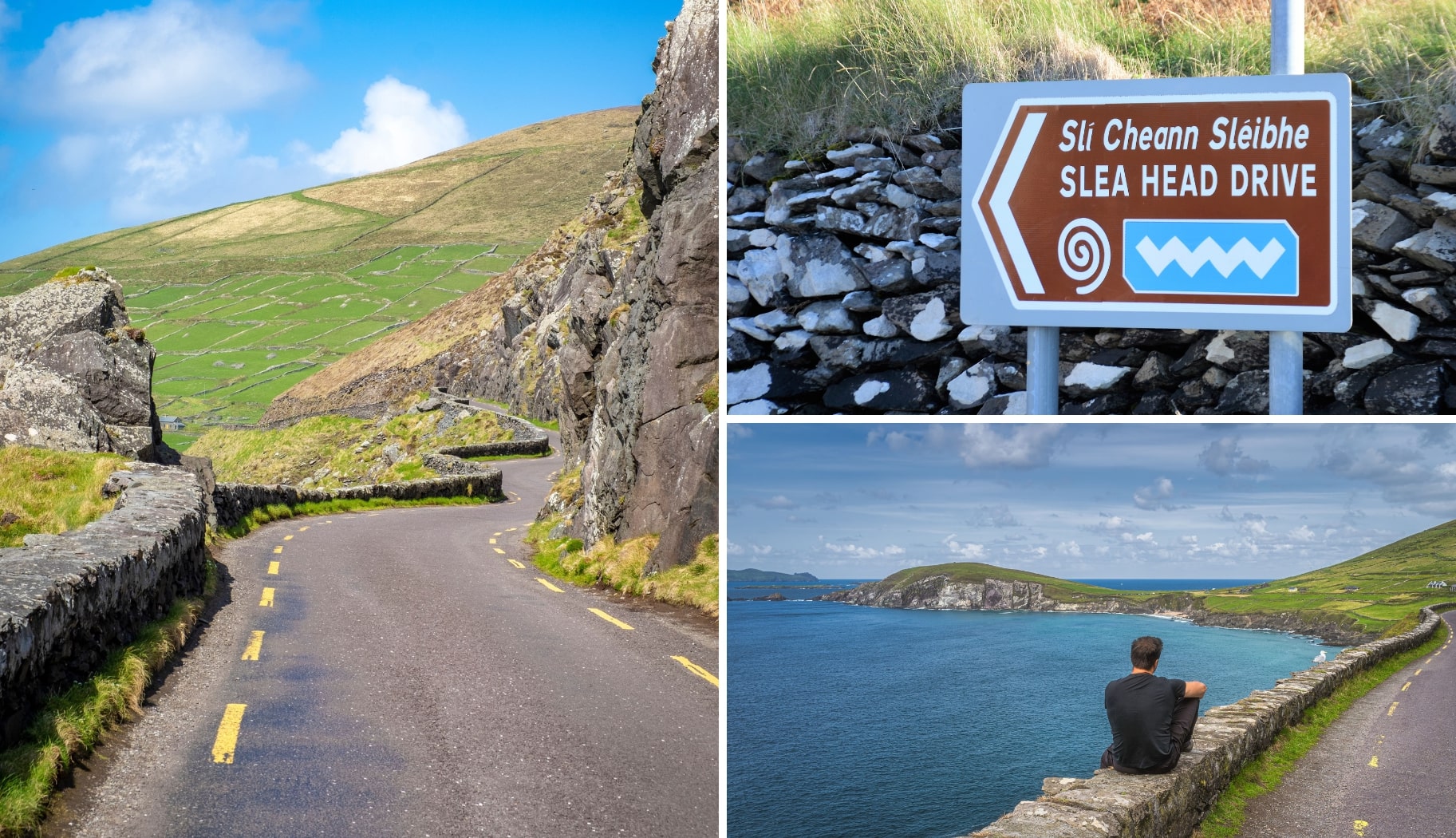
Photos via Shutterstock
Start from Dingle, just past the Dingle Distillery, and head north in a clockwise direction on the Slea Head Drive. The drive takes around 55-minutes without stops, or 3.5-hours to make the most of the views!
FAQs about Glanteenassig Woods
We’ve had a lot of questions over the years asking about everything from ‘Is it worth a visit?’ to ‘How tough are the trails?’.
In the section below, we’ve popped in the most FAQs that we’ve received. If you have a question that we haven’t tackled, ask away in the comments section below.
Where is Glenteenassig?
Located on the Dingle Peninsula, Glanteenassig Forest Park is accessed from the R560, roughly a 40-minutes drive west from Tralee, or about the same northeast from the town of Dingle.
What are the walks like at Glanteenassig Woods?
There are three main trails – Glanteenassig – Lough Slat view (Easy. 10 mins. 0.3 km), Glanteenassig – Lough Caum (Moderate. 60 mins. 2 km) and The River Trail (Easy. 30 mins. 1 km).
Keith O’Hara has lived in Ireland for 35 years and has spent much of the last 13 creating what is now The Irish Road Trip guide. Over the years, the website has published thousands of meticulously researched Ireland travel guides, welcoming 40 million+ visitors along the way. In 2022, the Irish Road Trip team published the world’s largest collection of Irish Road Trip itineraries. Keith lives in Dublin with his dog Toby and finds writing in the 3rd person minus craic altogether.