
The Derrybawn Woodland Trail is one of the shorter walks in Glendalough.
Also known as the Glendalough Orange Route, it’s an 8km trail that takes around 2 hours in total to complete.
Below, you’ll find a map, info on parking and advice on what to look out for along the way.
About the Glendalough Derrybawn Woodland Trail

Photo via Shutterstock
The Glendalough Orange Route is easy enough to follow once you’ve found the orange arrows. But before you slip into your hiking boots, it’s worth checking out some essentials first:
1. Location
Glendalough Valley enjoys a stunning location in the heart of the Wicklow Mountains National Park. It’s about 2 km from the nearest village, Laragh, and only a 30-minute drive from Wicklow Town. If you’re making a day trip from Dublin, it’s just over an hour’s drive south depending on where you leave from.
2. Parking
There are two large car parks at Glendalough, the main Upper car park, and the Lower car park. Both charge €4 for a full day of parking and both boast excellent facilities, including an information centre and clean toilets. There’s also a free car park in Laragh or you could take the Glendalough Bus if you’re visiting from Dublin.
3. Length + Difficulty
Covering a distance of 8 km with a total ascent of 160 meters, the Glendalough – Derrybawn Woodland Trail is the third-longest of the valley’s walks. There’s a pretty steep climb near the beginning, but it’s fairly short and after that, the going is pretty easy. In general, if you’re in reasonable shape you should be able to complete the loop in around 2 hours or so.
4. What to expect
The Glendalough Orange Route takes you on a wonderful ramble along the lower slopes of Derrybawn Mountain. This woodland wander also passes Poulanass Waterfall and joins with a section of the Glendalough Green Road along the banks of the lower lake. You’ll cross through mixed woodland that takes in mighty oak trees and gorgeous larch and pine.
An Overview of the Glendalough Orange Route

Map with thanks to Wicklow Mountains National Park
The Derrybawn Woodland Trail is a fairly easy walk to navigate, thanks to clear paths and excellent signage.
Here’s an idea of what to expect along the way (see orange dots on the map above).
Kicking things off
From the Upper car park, make your way to the information office, where you’ll see a large map board and can even pick up a printed map to take with you.
Look for the orange arrows, which from here, should be pointing you in the direction of Poulanass Waterfall.
The path up to the top of the cascade is pretty steep, but it doesn’t last too long and once you’re at the top, you’ll enjoy lovely views of the waterfall.
Into the woods
Once you’ve finished enjoying the waterfall, continue along the path a little longer before turning left onto a gravel track.
This forest path continues to gently climb as it takes you through lush pine and larch forest, eventually providing spectacular views over the valley.
You might notice some smaller animal tracks leading down from the slope. While these might look like a shortcut, don’t be tempted to take them. Walking on such tracks damages the ground and can be dangerous.
Down to the Green Road
After about two kilometres, the high forest track forks left, taking you down the slope along a zig-zagging path. Once you reach the valley floor, the trail starts to lead you back to the Upper Lake in Glendalough.
But there’s plenty to see along the way. First, there’s St. Saviour’s Priory, one of the lesser-visited of the seven churches of Glendalough. A little further along, the gravel turns to tarmac as you join the Green Road.
On your right, you’ll see the Glendalough Monastic Site once you pass the famous Deer Stone, and it’s worth seeing Glendalough Round Tower along with the other ruins.
Down to the Green Road
If you were starting the walk from the Lower Car Park, you’d join the path at this point.
After you’ve soaked up the views, follow the green road back to the Upper Lake, passing the shores of the Lower Lake as you go. Soon enough, you’ll arrive back at the car park.
Things To Do After the Derrybawn Woodland Trail
One of the beauties of the Glendalough Orange Route is that it’s a short spin away from many of the best things to do in Glendalough.
Below, you’ll find a handful of things to see and do a stone’s throw from the trail end!
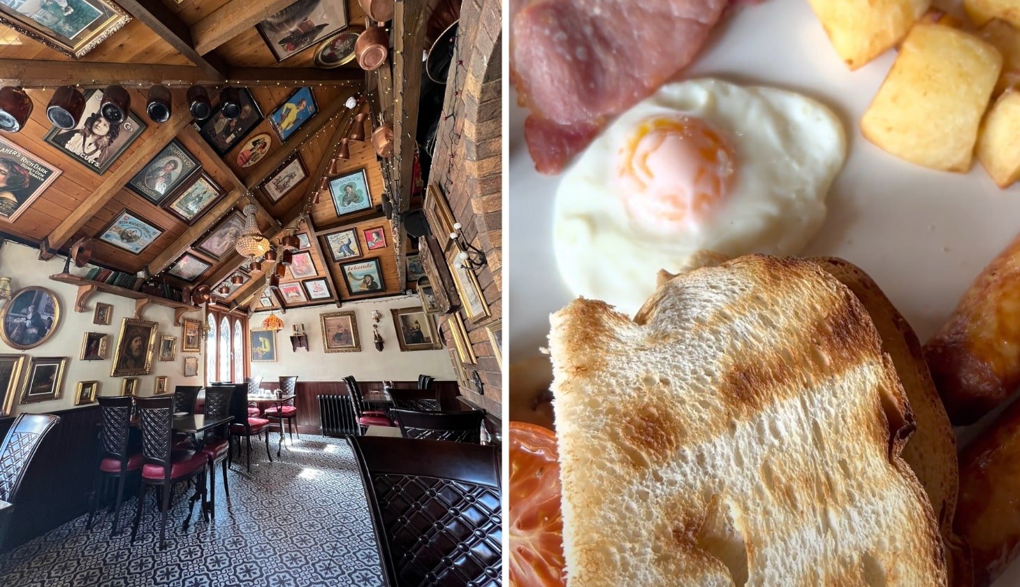
1. Post-hike food
Photos by The Irish Road Trip
You can’t beat a good feed after a decent walk. In the Upper car park, you’ll find two food trucks. One typically sells coffee, cakes, ice cream and the like, while the other does hot food. Alternatively, get yourself down to the Wicklow Heather Restaurant in Laragh for a fantastic atmosphere and gorgeous food.
Visiting Wicklow? Check out our guide to the best things to do in Wicklow and our guide to the best hikes in Wicklow
2. Glendalough Round Tower

Photos via Shutterstock
The Round Tower is perhaps one of the most well-preserved of all the Monastic City. An iconic feature of the landscape, the tower stands more than 30 metres tall. It’s believed to be over 1,000 years old, though its exact age is as yet unknown.
3. Sally Gap

Sally Gap is an epic crossroad in the heart of the Wicklow Mountains. The road is surrounded by gob-smacking natural beauty that takes in numerous mountains, and the famous Lough Tay, perhaps more commonly known as the Guinness Lake.
FAQs about the Glendalough Orange Route
We’ve had a lot of questions over the years asking about everything from ‘Is it buggy friendly?’ to ‘How easy is it?’.
In the section below, we’ve popped in the most FAQs that we’ve received. If you have a question that we haven’t tackled, ask away in the comments section below.
How long does the Derrybawn Woodland Trail take?
You’ll want to allow around 2 hours to complete the Orange Route. It runs for 8 km and it has a total ascent of 160 meters.
Is the Glendalough Orange Route hard?
This is a moderate walk with 160 meters of ascent. It should be very doable for those with decent fitness levels.
Keith O’Hara has lived in Ireland for 35 years and has spent much of the last 13 creating what is now The Irish Road Trip guide. Over the years, the website has published thousands of meticulously researched Ireland travel guides, welcoming 40 million+ visitors along the way. In 2022, the Irish Road Trip team published the world’s largest collection of Irish Road Trip itineraries. Keith lives in Dublin with his dog Toby and finds writing in the 3rd person minus craic altogether.